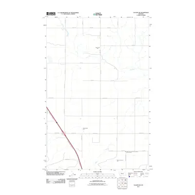
2011 Map of Vaughn NE
USGS Topo · Published 2011About this map
Lake Creek Flat characterizes this portion of Cascade County, where the meandering course of Lake Creek cuts through a high-plains landscape defined by a rigid grid of rural section roads. This 2011 survey shows an area dominated by agricultural infrastructure, notably marked by water management features like Muddy Spots Dam and Neuman Number 2 Dam. The intersection of modern transportation and community service is evident in the southern reaches, where the Vaughn North Frontage Rd parallels the highway corridor near the Vaughn Vol Fire Dept - Newman Bench Vol Fire Company. Local history is preserved in the naming of the thoroughfares, such as Neuman School Rd, Old Gettel Rd, and Somerfeld Rd, which likely trace back to the early homesteading families who settled this northern Montana benchland.
Find a feature on this map
25 named features on this map. Tap any name to fly to it.
Don’t see what you’re looking for? This feature index may not catch every label — zoom into the map to look around manually.
Map Details
Editions of this 2011 Vaughn NE Map
This is the sole edition of this map. No revisions or reprints were ever made.
Other maps of this area

1886 · Great Falls
USGS Topo · 1:250,000

1949 · Timber Coulee
USGS Topo · 1:62,500

1949 · Great Falls
USGS Topo · 1:62,500

1949 · Vaughn
USGS Topo · 1:62,500

1950 · Timber Coulee
USGS Topo · 1:62,500

1950 · Dutton
USGS Topo · 1:62,500

1951 · Great Falls
USGS Topo · 1:62,500

1952 · Vaughn
USGS Topo · 1:62,500

1954 · Great Falls
USGS Topo · 1:250,000

1957 · Great Falls
USGS Topo · 1:250,000