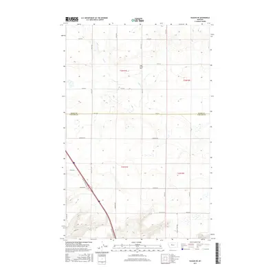
2017 Map of Vaughn NE
USGS Topo · Published 2017About this map
Lake Creek Flat and the meandering drainage of Lake Cr. dominate this section of the Montana high plains along the border of Teton and Cascade counties. The landscape is defined by a grid of rural section lines and family-named transport routes, reflecting the enduring agricultural character of the region. Notable local infrastructure includes Vaughn N Frontage Rd, which cuts diagonally through the southwestern corner, and several localized routes such as Old Gettle Rd and Neuman School Rd that hint at the locations of former school districts and family homesteads. The terrain is characterized by subtle elevation changes and numerous small depressions, typical of the glacial and alluvial history of this prairie environment north of Great Falls.
Find a feature on this map
26 named features on this map. Tap any name to fly to it.
Don’t see what you’re looking for? This feature index may not catch every label — zoom into the map to look around manually.
Map Details
Editions of this 2017 Vaughn NE Map
This is the sole edition of this map. No revisions or reprints were ever made.
Other maps of this area

1886 · Great Falls
USGS Topo · 1:250,000

1949 · Timber Coulee
USGS Topo · 1:62,500

1949 · Great Falls
USGS Topo · 1:62,500

1949 · Vaughn
USGS Topo · 1:62,500

1950 · Timber Coulee
USGS Topo · 1:62,500

1950 · Dutton
USGS Topo · 1:62,500

1951 · Great Falls
USGS Topo · 1:62,500

1952 · Vaughn
USGS Topo · 1:62,500

1954 · Great Falls
USGS Topo · 1:250,000

1957 · Great Falls
USGS Topo · 1:250,000