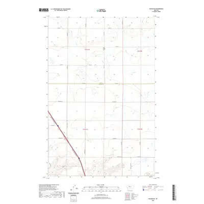
2020 Map of Vaughn NE
USGS Topo · Published 2020About this map
The high plains of the Teton and Cascade county line are defined by the winding course of Lake Cr and the broad, level expanse of Lake Creek Flat. This 2020 survey reveals a landscape organized by the Public Land Survey System, where modern infrastructure like the Vaughn North Frontage Rd cuts diagonally across the rigid section lines. The map documents a network of named rural routes such as Neuman School Rd and Old Gettel Rd, reflecting the legacy of early ranching families and local school districts. Settlement patterns here are dictated by water and topography, with roads like Gunderson Rd and Anderson Rd providing access to the interior of this prairie environment.
Find a feature on this map
26 named features on this map. Tap any name to fly to it.
Don’t see what you’re looking for? This feature index may not catch every label — zoom into the map to look around manually.
Map Details
Editions of this 2020 Vaughn NE Map
This is the sole edition of this map. No revisions or reprints were ever made.
Other maps of this area

1886 · Great Falls
USGS Topo · 1:250,000

1949 · Timber Coulee
USGS Topo · 1:62,500

1949 · Great Falls
USGS Topo · 1:62,500

1949 · Vaughn
USGS Topo · 1:62,500

1950 · Timber Coulee
USGS Topo · 1:62,500

1950 · Dutton
USGS Topo · 1:62,500

1951 · Great Falls
USGS Topo · 1:62,500

1952 · Vaughn
USGS Topo · 1:62,500

1954 · Great Falls
USGS Topo · 1:250,000

1957 · Great Falls
USGS Topo · 1:250,000