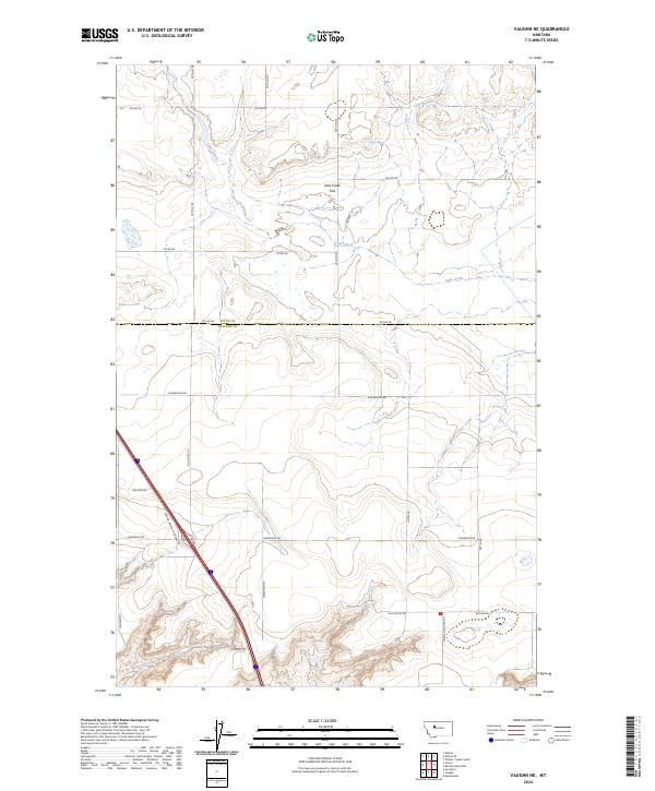
2024 Map of Vaughn NE
USGS Topo · Published 2024About this map
Benton Lake National Wildlife Refuge dominates the landscape at the northern edge of the Cascade and Teton county line. This conservation-focused terrain is defined by its seasonal wetlands and the intermittent flow of Lake Creek, which winds across the low-lying Lake Creek Flat. The map reveals a highly structured grid of section lines and rural roads, suggesting a landscape primarily dedicated to ranching and waterfowl management. In the southern portion of the sheet, the Cascade County Waterfowl Production Area further emphasizes the regional commitment to habitat preservation. Local infrastructure is marked by a network of family-named thoroughfares, including Neuman School Rd, Gettle Rd, and Somerfeld Dr, alongside the prominent corridor of Vaughn North Frontage Rd.
Find a feature on this map
26 named features on this map. Tap any name to fly to it.
Don’t see what you’re looking for? This feature index may not catch every label — zoom into the map to look around manually.
Map Details
Editions of this 2024 Vaughn NE Map
This is the sole edition of this map. No revisions or reprints were ever made.
Other maps of this area

1886 · Great Falls
USGS Topo · 1:250,000

1949 · Timber Coulee
USGS Topo · 1:62,500

1949 · Great Falls
USGS Topo · 1:62,500

1949 · Vaughn
USGS Topo · 1:62,500

1950 · Timber Coulee
USGS Topo · 1:62,500

1950 · Dutton
USGS Topo · 1:62,500

1951 · Great Falls
USGS Topo · 1:62,500

1952 · Vaughn
USGS Topo · 1:62,500

1954 · Great Falls
USGS Topo · 1:250,000

1957 · Great Falls
USGS Topo · 1:250,000