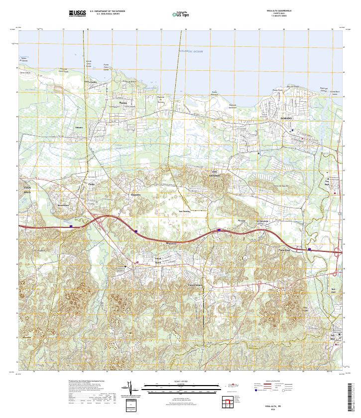
2024 Map of Vega Alta
USGS Topo · Published 2024About this map
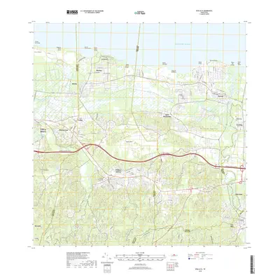
Vega Alta and the neighboring municipalities of Dorado and Toa Alta anchor this modern topographic view of Puerto Rico's northern coast. The landscape transitions from the shores of the Atlantic Ocean and the wetlands of Ciénaga Prieta to the inland karst hills, where settlements like Monserrate, Regadera, and Monterrey are linked by the primary corridor of PR-2. These interior hills are deeply dissected by watercourses including Río Indio and Río de la Plata, which define the region's drainage patterns.
Find a feature on this map
74 named features on this map. Tap any name to fly to it.
Don’t see what you’re looking for? This feature index may not catch every label — zoom into the map to look around manually.
Map Details
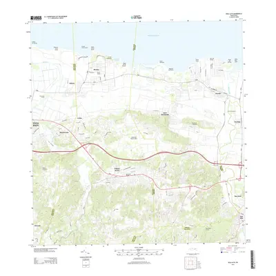
Editions of this 2024 Vega Alta Map
This is the sole edition of this map. No revisions or reprints were ever made.
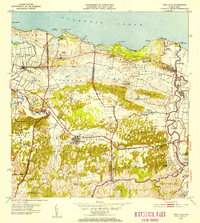
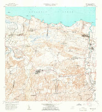
Historical Maps of Dorado Through Time
8 maps found


Featured Locations
- Dorado, Dorado
- Sector Arenas, Vega Alta
- Vega Alta, Vega Alta
- El Nueve, Vega Alta
- Maricao Adentro, Vega Alta