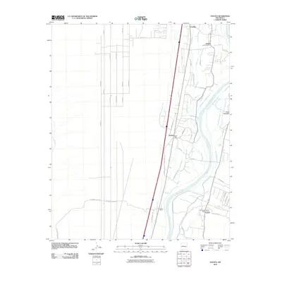
2010 Map of Veguita
USGS Topo · Published 2010About this map
The Rio Grande corridor south of Belen is defined by a complex irrigation network of ditches and drains that support the agricultural valley floor. In this 2010 landscape, the villages of Pueblitos, Jarales, and Bosque sit east of the river, while Veguita serves as a southern anchor with its own Veguita Post Office and Veguita Cemetery. The map illustrates the region's historical reliance on water management, featuring dozens of named waterworks such as the Old Jarales Ditch, Bosque Drain, and Casa Colorada Canal.
Find a feature on this map
66 named features on this map. Tap any name to fly to it.
Don’t see what you’re looking for? This feature index may not catch every label — zoom into the map to look around manually.
Map Details
Editions of this 2010 Veguita Map
This is the sole edition of this map. No revisions or reprints were ever made.
Other maps of this area

1916 · La Joya
USGS Topo · 1:125,000

1952 · La Joya NW
USGS Topo · 1:24,000

1952 · Belen SW
USGS Topo · 1:24,000

1952 · Black Butte
USGS Topo · 1:24,000

1952 · Belen
USGS Topo · 1:24,000

1952 · Turn
USGS Topo · 1:24,000

1952 · Veguita
USGS Topo · 1:24,000

1952 · Belen NW
USGS Topo · 1:24,000

1952 · Tome
USGS Topo · 1:24,000

1952 · Abeytas
USGS Topo · 1:24,000