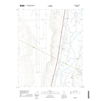
2020 Map of Veguita
USGS Topo · Published 2020About this map
Rio Grande waters flow through this New Mexico landscape, creating a fertile corridor that supports a series of river-adjacent settlements including Pueblitos, Bosque, and Veguita. This agricultural valley is defined by its network of irrigation and local roads, many bearing family names like Armijo Rd, Cordova Rd, and Enrique S Sanchez Rd. The map illustrates the sharp contrast between the irrigated lowlands and the higher, arid ground to the west where the Rio Puerco and Abo Arroyo meet the valley floor. Aviation history is present in the form of rural airfields like Flying H Airport and Skywagon Farm Airport, which sit alongside established community landmarks such as the Veguita Cem. This document provides an exacting record of the late-twentieth-century rural infrastructure and the persistent boundary between Valencia and Socorro counties.
Find a feature on this map
76 named features on this map. Tap any name to fly to it.
Don’t see what you’re looking for? This feature index may not catch every label — zoom into the map to look around manually.
Map Details
Editions of this 2020 Veguita Map
This is the sole edition of this map. No revisions or reprints were ever made.
Other maps of this area

1916 · La Joya
USGS Topo · 1:125,000

1952 · La Joya NW
USGS Topo · 1:24,000

1952 · Belen SW
USGS Topo · 1:24,000

1952 · Black Butte
USGS Topo · 1:24,000

1952 · Belen
USGS Topo · 1:24,000

1952 · Turn
USGS Topo · 1:24,000

1952 · Veguita
USGS Topo · 1:24,000

1952 · Belen NW
USGS Topo · 1:24,000

1952 · Tome
USGS Topo · 1:24,000

1952 · Abeytas
USGS Topo · 1:24,000