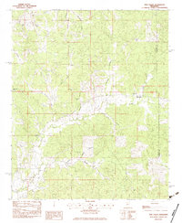
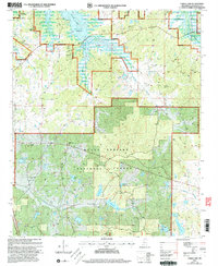
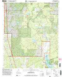
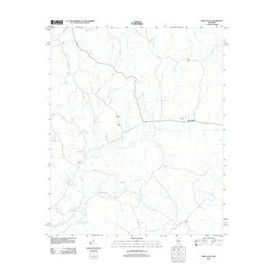
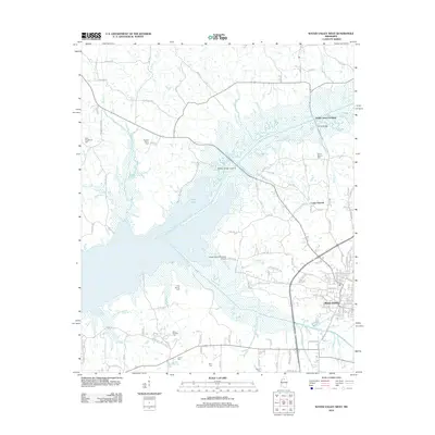
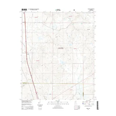
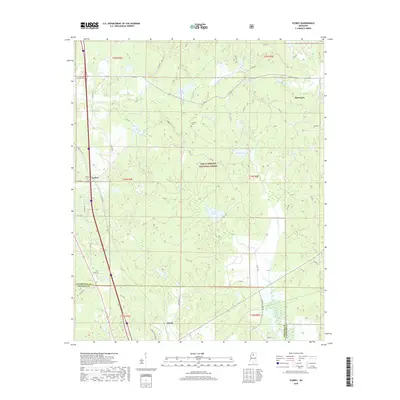
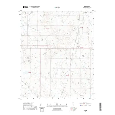
1983 Map of Velma
USGS Topo · Published 1983About this map
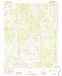
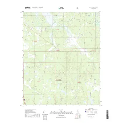
The Old Indian Treaty Boundary slices across the southwestern landscape of this Yalobusha County region, providing a visible link to the area's complex administrative history. Centered on the community of Velma, the map reveals a settlement pattern defined by numerous small rural congregations and family burial grounds. Notable landmarks include Yalobusha Academy and a high density of country churches such as Sylva Rena Ch, Union Hill Ch, and Bethlehem Ch.
Find a feature on this map
36 named features on this map. Tap any name to fly to it.
Don’t see what you’re looking for? This feature index may not catch every label — zoom into the map to look around manually.
Map Details
Editions of this 1983 Velma Map
This is the sole edition of this map. No revisions or reprints were ever made.
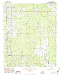
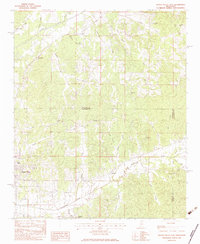
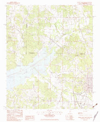
Historical Maps of Water Valley Through Time
45 maps found
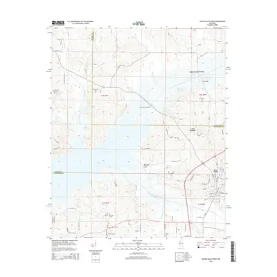
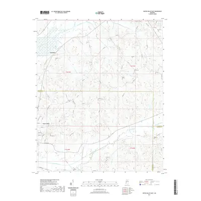
1954 Water Valley West
Yalobusha County, MS
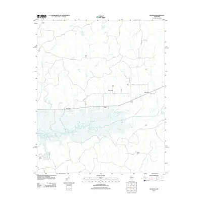
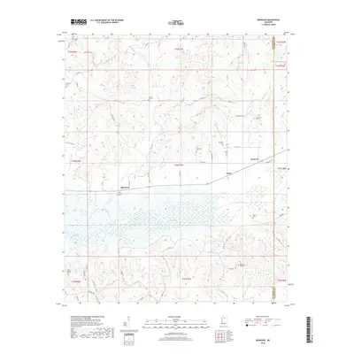
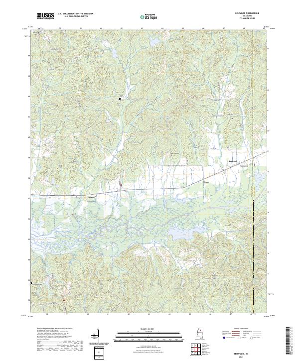
1983 Benwood
Yalobusha County, MS
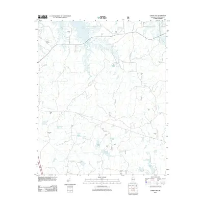
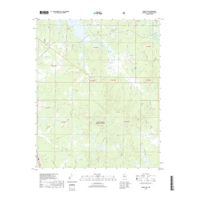
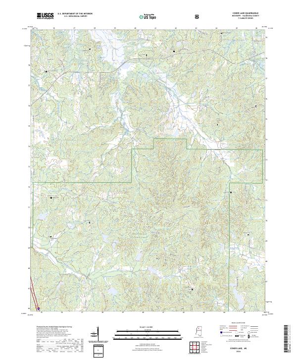
1983 Coker Lake
Yalobusha County, MS
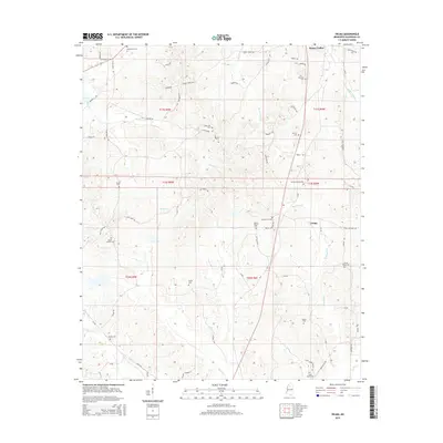
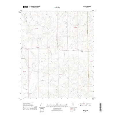
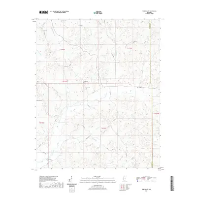
1983 Pine Valley
Yalobusha County, MS
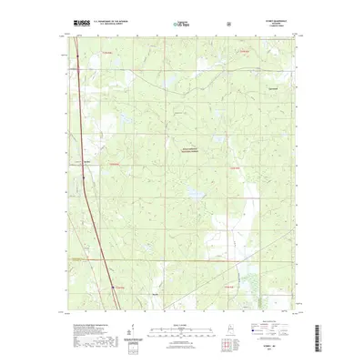
1983 Scobey
Yalobusha County, MS
1983 Velma
Yalobusha County, MS
1983 Water Valley East
Yalobusha County, MS
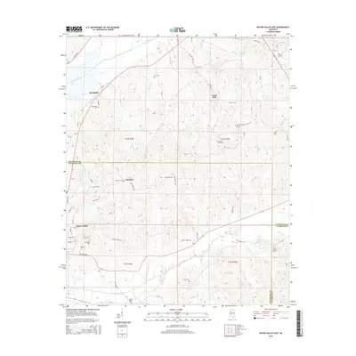
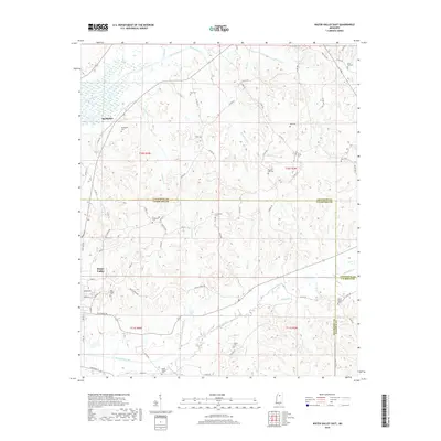
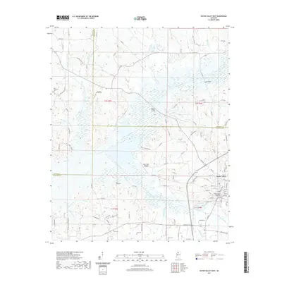
1983 Water Valley West
Yalobusha County, MS
2000 Coker Lake
Yalobusha County, MS
2000 Scobey
Yalobusha County, MS
2012 Benwood
Yalobusha County, MS
2012 Coker Lake
Yalobusha County, MS
2012 Pine Valley
Yalobusha County, MS
2012 Scobey
Yalobusha County, MS
2012 Velma
Yalobusha County, MS
2012 Water Valley East
Yalobusha County, MS
2012 Water Valley West
Yalobusha County, MS
2015 Benwood
Yalobusha County, MS
2015 Coker Lake
Yalobusha County, MS
2015 Pine Valley
Yalobusha County, MS
2015 Scobey
Yalobusha County, MS
2015 Velma
Yalobusha County, MS
2015 Water Valley East
Yalobusha County, MS
2015 Water Valley West
Yalobusha County, MS
2018 Benwood
Yalobusha County, MS
2018 Coker Lake
Yalobusha County, MS
2018 Pine Valley
Yalobusha County, MS
2018 Scobey
Yalobusha County, MS
2018 Velma
Yalobusha County, MS
2018 Water Valley East
Yalobusha County, MS
2018 Water Valley West
Yalobusha County, MS
2020 Benwood
Yalobusha County, MS
2021 Coker Lake
Yalobusha County, MS
2021 Pine Valley
Yalobusha County, MS
2021 Scobey
Yalobusha County, MS
2021 Velma
Yalobusha County, MS
2021 Water Valley East
Yalobusha County, MS
2021 Water Valley West
Yalobusha County, MS
2024 Benwood
Yalobusha County, MS
2024 Coker Lake
Yalobusha County, MS
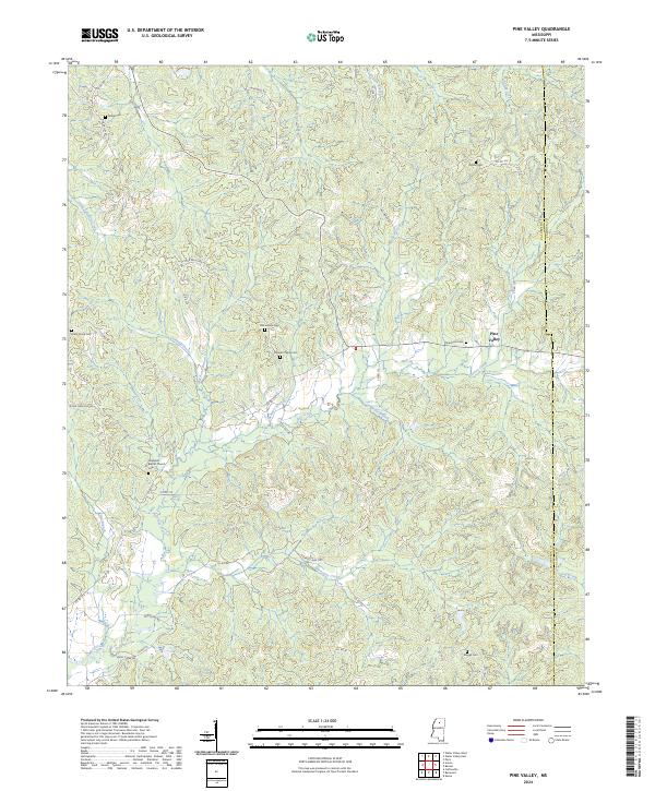
2024 Pine Valley
Yalobusha County, MS
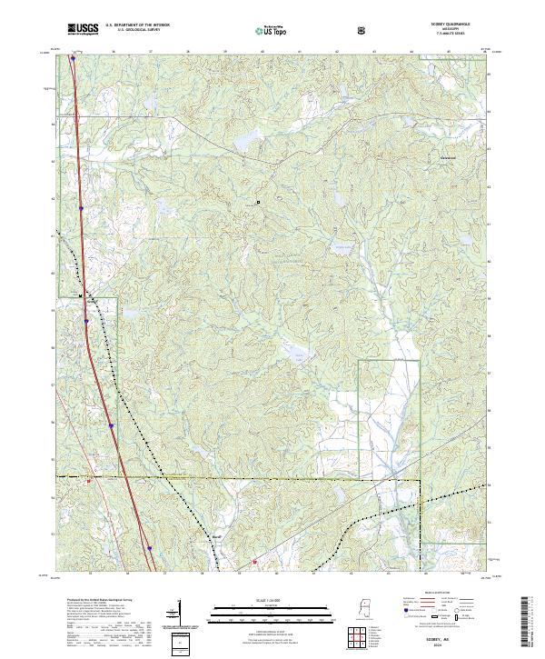
2024 Scobey
Yalobusha County, MS
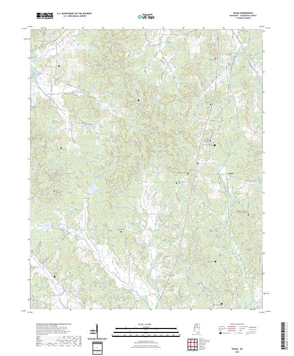
2024 Velma
Yalobusha County, MS
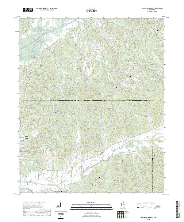
2024 Water Valley East
Yalobusha County, MS
2024 Water Valley West
Yalobusha County, MS