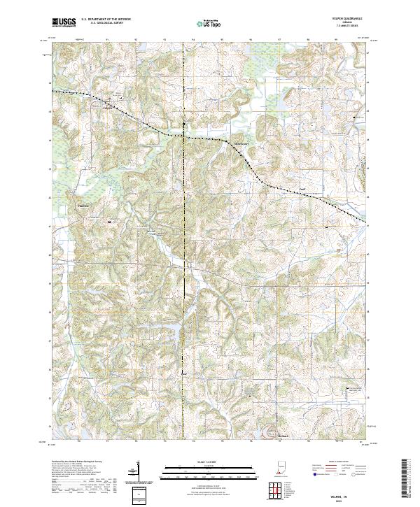
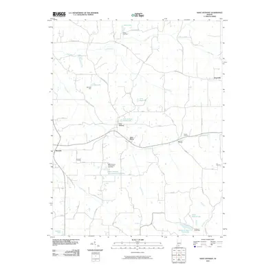
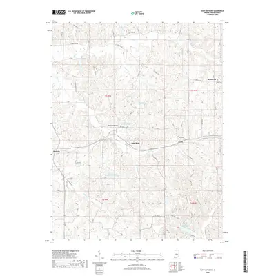
2022 Map of Velpen
USGS Topo · Published 2022About this map
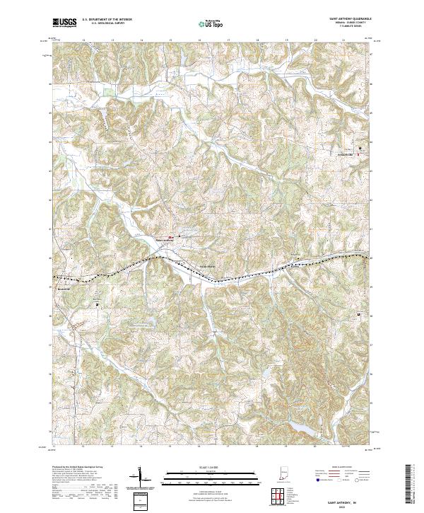
The Patoka River snakes through the lowlands of Dubois and Pike counties, defining a landscape where rural settlements like Velpen and Millersport have long served as local anchors. This modern survey illustrates a network of small farming communities and family-named landmarks, such as Duff and Zoar, connected by a dense grid of county roads. The terrain transitions into the Mitchell Plain near Pikeville, where the presence of numerous small cemeteries like Walnut Grove Cem and Risley Cem provides essential spatial data for genealogists tracking early Hoosier families.
Find a feature on this map
57 named features on this map. Tap any name to fly to it.
Don’t see what you’re looking for? This feature index may not catch every label — zoom into the map to look around manually.
Map Details
Editions of this 2022 Velpen Map
This is the sole edition of this map. No revisions or reprints were ever made.
Historical Maps of Holland Through Time
13 maps found
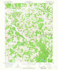
1955 Saint Anthony
Dubois County, IN
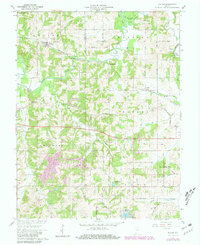
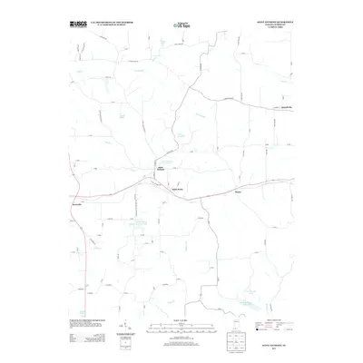
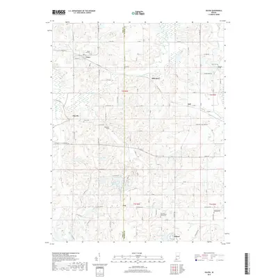
1961 Velpen
Dubois County, IN
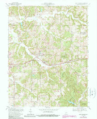
1969 Saint Anthony
Dubois County, IN
2010 Saint Anthony
Dubois County, IN
2010 Velpen
Dubois County, IN
2013 Saint Anthony
Dubois County, IN
2013 Velpen
Dubois County, IN
2016 Saint Anthony
Dubois County, IN
2016 Velpen
Dubois County, IN
2019 Saint Anthony
Dubois County, IN
2019 Velpen
Dubois County, IN
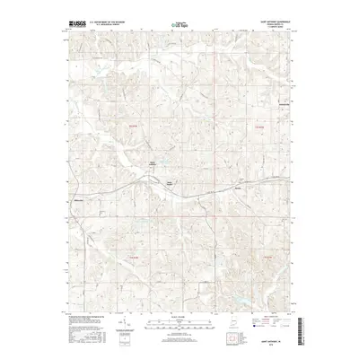
2022 Saint Anthony
Dubois County, IN
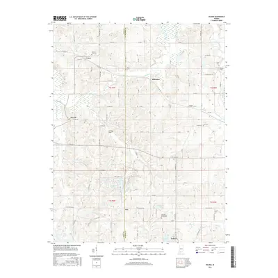
2022 Velpen
Dubois County, IN