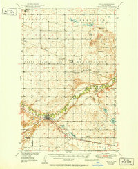
1951 Map of Velva
USGS Topo · Published 1951About this map
The Souris River winds through the heart of this North Dakota landscape, carving a fertile valley that separates the northern prairie from the southern hills. In the early post-war era, the town of Velva serves as a primary hub, situated where the river makes its sharp southern turn. This area is defined by a dense network of country schools, including the Howe School and several Walters district schoolhouses, reflecting the rural community's commitment to local education.
Find a feature on this map
47 named features on this map. Tap any name to fly to it.
Don’t see what you’re looking for? This feature index may not catch every label — zoom into the map to look around manually.
Map Details
Editions of this 1951 Velva Map
This is the sole edition of this map. No revisions or reprints were ever made.
Other maps of this area
1929 · Sawyer
USGS Topo · 1:62,500
1929 · Benedict
USGS Topo · 1:62,500
1929 · Kongsberg
USGS Topo · 1:62,500
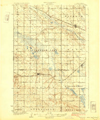
1929 · Balfour
USGS Topo · 1:62,500
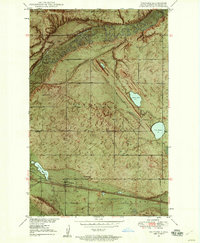
1948 · Voltaire
USGS Topo · 1:24,000
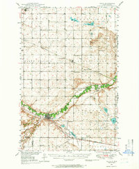
1948 · Velva
USGS Topo · 1:62,500
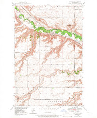
1948 · Sawyer
USGS Topo · 1:24,000
1949 · Norwich
USGS Topo · 1:24,000
1949 · Sawyer
USGS Topo · 1:24,000
1949 · Simcoe
USGS Topo · 1:24,000