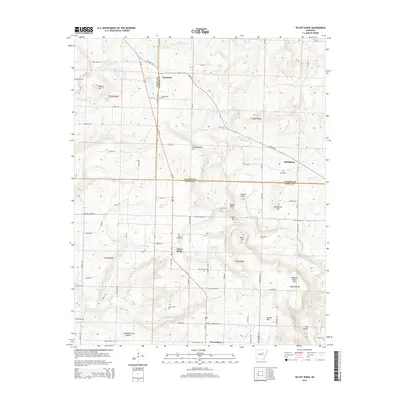
2014 Map of Velvet Ridge
USGS Topo · Published 2014About this map
The boundary between White Co and Jackson Co defines this landscape of northern Arkansas, where the interior lowlands begin to meet the rising terrain of the Ozark foothills. The settlement of Velvet Ridge serves as a central point along the path of Us-167, surrounded by family-named landmarks and rural cemeteries such as Velvet Ridge Cem and Bethlehem Cem. Further north, Denmark sits at the junction with Ar 87 HWY, while the smaller community of Heffington is situated near the eastern edge along Hurricane Br.
Find a feature on this map
67 named features on this map. Tap any name to fly to it.
Don’t see what you’re looking for? This feature index may not catch every label — zoom into the map to look around manually.
Map Details
Editions of this 2014 Velvet Ridge Map
This is the sole edition of this map. No revisions or reprints were ever made.
Other maps of this area

1890 · Batesville
USGS Topo · 1:125,000

1891 · Batesville
USGS Topo · 1:125,000

1935 · Newport
USGS Topo · 1:62,500

1935 · Augusta
USGS Topo · 1:62,500

1935 · Bald Knob
USGS Topo · 1:62,500

1953 · Memphis
USGS Topo · 1:250,000

1956 · Memphis
USGS Topo · 1:250,000

1957 · Augusta
USGS Topo · 1:62,500
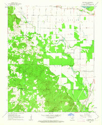
1962 · Olyphant
USGS Topo · 1:24,000
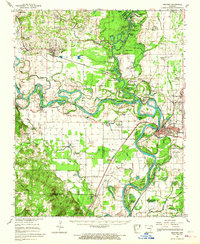
1962 · Newport
USGS Topo · 1:62,500