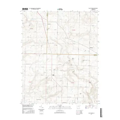
2017 Map of Velvet Ridge
USGS Topo · Published 2017About this map
Velvet Ridge and Denmark anchor this part of the White County and Jackson County border, where the landscape transitions from the higher elevations of the Ozark foothills into the drainage basins of the Mississippi Alluvial Plain. The terrain is marked by distinctive peaks such as Buzzard Roost Mtn and Russell Mtn, which overlook a network of winding waterways including Glaise Cr and Stevens Cr. Local genealogy is well-preserved through numerous family and community burial grounds, such as Bethlehem Cem and Velvet Ridge Cem. The map reveals a settled rural character defined by scattered homesteads and small communities like Heffington and Twentythree, connected by a web of local routes like Velvet Ridge Rd and Honey Holler Rd. These features illustrate a persistent agricultural and timber-based economy that has shaped this region for generations.
Find a feature on this map
94 named features on this map. Tap any name to fly to it.
Don’t see what you’re looking for? This feature index may not catch every label — zoom into the map to look around manually.
Map Details
Editions of this 2017 Velvet Ridge Map
This is the sole edition of this map. No revisions or reprints were ever made.
Other maps of this area

1890 · Batesville
USGS Topo · 1:125,000

1891 · Batesville
USGS Topo · 1:125,000

1935 · Newport
USGS Topo · 1:62,500

1935 · Augusta
USGS Topo · 1:62,500

1935 · Bald Knob
USGS Topo · 1:62,500

1953 · Memphis
USGS Topo · 1:250,000

1956 · Memphis
USGS Topo · 1:250,000

1957 · Augusta
USGS Topo · 1:62,500
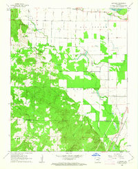
1962 · Olyphant
USGS Topo · 1:24,000
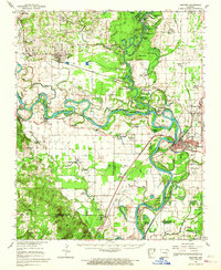
1962 · Newport
USGS Topo · 1:62,500