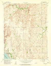
1957 Map of Venango
USGS Topo · Published 1958About this map
The Union Pacific railroad line cuts through the northern landscape of this region, connecting the small settlements of Terra Cotta and Arcola along the banks of Spring Creek. This 1957 field-checked survey captures the area at a point of transition, dominated by the newly formed Kanopolis Reservoir and its associated infrastructure, including the Kanopolis Dam and the nearby Kanopolis Landing Field. The topography transitions from the northern drainages into the prominent Smoky Hills to the east, where the Smoky Hill Air Force Range occupies a portion of the terrain. Local history and genealogy are anchored by specific landmarks such as Terra Cotta Cem and Summit Cem, as well as the settlement of Venango situated near the reservoir's western edge. The drainage patterns of Sand Creek, Wiley Creek, and Castle Hill Creek illustrate the complex watershed that feeds into the reservoir system.
Find a feature on this map
21 named features on this map. Tap any name to fly to it.
Don’t see what you’re looking for? This feature index may not catch every label — zoom into the map to look around manually.
Map Details
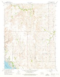
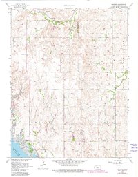
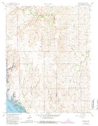
Editions of this 1957 Venango Map
4 editions found
Other maps of this area

1892 · Salina
USGS Topo · 1:125,000

1894 · Ellsworth
USGS Topo · 1:125,000

1942 · Salina
USGS Topo · 1:125,000

1955 · Brookville
USGS Topo · 1:24,000

1955 · Falun
USGS Topo · 1:24,000

1955 · Great Bend
USGS Topo · 1:250,000

1955 · Hutchinson
USGS Topo · 1:250,000

1957 · Great Bend
USGS Topo · 1:250,000

1957 · Brookville SW
USGS Topo · 1:24,000

1957 · Westfall SE
USGS Topo · 1:24,000