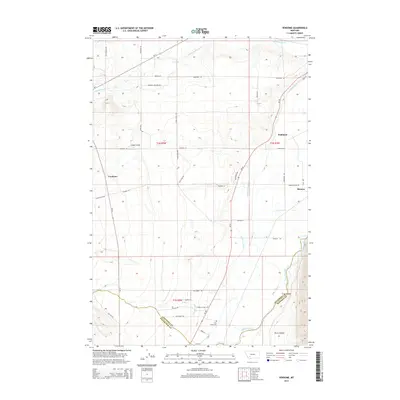
2014 Map of Vendome
USGS Topo · Published 2014About this map
The Jefferson River valley serves as the central artery for this portion of Jefferson and Silver Bow counties, where the high-altitude landscape transitions from the steep walls of Perry Canyon to broader agricultural flats. A complex irrigation network, including the Jefferson Canal, Pleasant Valley Ditch, and Creeklyn Ditch, underscores the area's reliance on water management for ranching and farming. Small settlements like Vendome and Piedmont are positioned along the lower elevations, while Renova sits near the river's edge. This 2014 survey documents the persistence of early land divisions and family-named roads such as Spackman Rd and Makowski Ln. For those looking into local lineage, the Fish Creek Cem stands near the confluence of Fish Cr and the river, marking a point of long-standing local history in the valley.
Find a feature on this map
48 named features on this map. Tap any name to fly to it.
Don’t see what you’re looking for? This feature index may not catch every label — zoom into the map to look around manually.
Map Details
Editions of this 2014 Vendome Map
This is the sole edition of this map. No revisions or reprints were ever made.
Other maps of this area

1893 · Dillon
USGS Topo · 1:250,000

1955 · Dillon
USGS Topo · 1:250,000

1957 · Dillon
USGS Topo · 1:250,000

1958 · Dillon
USGS Topo · 1:250,000

1960 · Twin Bridges
USGS Topo · 1:62,500

1960 · Waterloo
USGS Topo · 1:62,500

1962 · Dillon
USGS Topo · 1:250,000
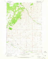
1963 · Dry Mountain
USGS Topo · 1:24,000
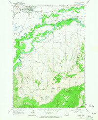
1963 · Whitehall
USGS Topo · 1:24,000
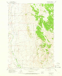
1963 · Black Butte
USGS Topo · 1:24,000