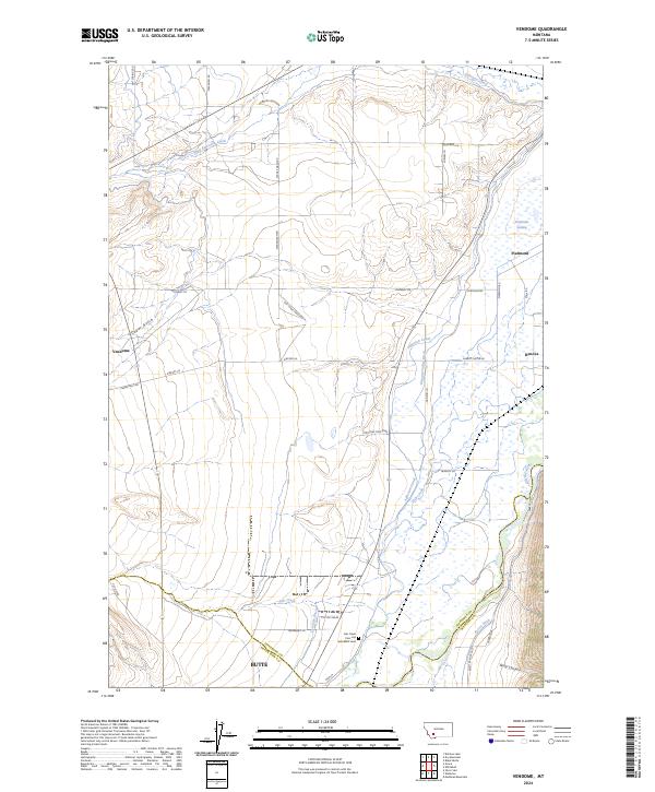
2024 Map of Vendome
USGS Topo · Published 2024About this map
Piedmont and Vendome stand at the intersection of early transportation routes and the high-desert irrigation networks of Jefferson County. This landscape is defined by the Jefferson River and an intricate system of water management, including the Jefferson Canal, Pleasant Valley Ditch, and Creeklyn Ditch, which support the agricultural life of the valley. The map documents the enduring paths of the Stage Coach Rd and Old Stage Coach Rd, tracing the historical movement through the region before modern infrastructure.
Find a feature on this map
45 named features on this map. Tap any name to fly to it.
Don’t see what you’re looking for? This feature index may not catch every label — zoom into the map to look around manually.
Map Details
Editions of this 2024 Vendome Map
This is the sole edition of this map. No revisions or reprints were ever made.
Other maps of this area

1893 · Dillon
USGS Topo · 1:250,000

1955 · Dillon
USGS Topo · 1:250,000

1957 · Dillon
USGS Topo · 1:250,000

1958 · Dillon
USGS Topo · 1:250,000

1960 · Twin Bridges
USGS Topo · 1:62,500

1960 · Waterloo
USGS Topo · 1:62,500

1962 · Dillon
USGS Topo · 1:250,000
1963 · Dry Mountain
USGS Topo · 1:24,000
1963 · Whitehall
USGS Topo · 1:24,000
1963 · Black Butte
USGS Topo · 1:24,000