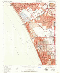
1950 Map of Venice
USGS Topo · Published 1957About this map
Loyola University sits perched above the southern Los Angeles coastline in this mid-century survey, overlooking a landscape defined by rapid aviation and industrial growth. The central portion of the map is dominated by the Los Angeles International Airport, shown with a designated Airport Expansion Area and the nearby Los Angeles Industrial Airport. This era captures the transition of the Sausal Redondo area from its ranching roots into a dense grid of suburban developments like Westchester and industrial zones.
Find a feature on this map
58 named features on this map. Tap any name to fly to it.
Don’t see what you’re looking for? This feature index may not catch every label — zoom into the map to look around manually.
Map Details
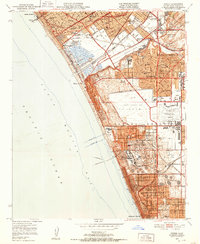
Editions of this 1950 Venice Map
2 editions found
Other maps of this area

1894 · Los Angeles
USGS Topo · 1:62,500

1896 · Redondo
USGS Topo · 1:62,500

1896 · Santa Monica
USGS Topo · 1:62,500

1898 · Santa Monica
USGS Topo · 1:62,500

1900 · Los Angeles
USGS Topo · 1:62,500

1901 · Southern California Sheet No. 1
USGS Topo · 1:250,000

1902 · Santa Monica
USGS Topo · 1:62,500

1903 · Calabasas
USGS Topo · 1:62,500

1903 · Camulos
USGS Topo · 1:125,000

1904 · Southern California Sheet No. 1
USGS Topo · 1:250,000