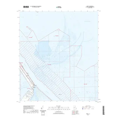
2020 Map of Venice
USGS Topo · Published 2020About this map
The Mississippi River winds through this coastal landscape, defining the character of a community built at the very edge of the delta. In the settlement of Venice, the road network including Boothville River RD and Coast Guard RD follows the narrow natural levees, providing a lifeline for the local maritime and oil industries. This modern survey illustrates the complex relationship between land and water, where the river branches into major outlets like Main Pass, Tiger Pass, and Baptiste Collette Bayou. Local heritage is anchored by the Turtlich and Buras Cem and the small settlements of Orchard and The Jump, which sit amidst a vast network of marshes and bays including Alexis Bay and Benneys Bay. The map captures the precarious nature of these coastal reaches, where the land gives way to the Gulf Of Mexico and shifting terrain like Wilder Flats.
Find a feature on this map
37 named features on this map. Tap any name to fly to it.
Don’t see what you’re looking for? This feature index may not catch every label — zoom into the map to look around manually.
Map Details
Editions of this 2020 Venice Map
This is the sole edition of this map. No revisions or reprints were ever made.
Other maps of this area

1893 · East Delta
USGS Topo · 1:62,500

1893 · Forts
USGS Topo · 1:62,500

1893 · West Delta
USGS Topo · 1:62,500

1935 · Taylor Pass
USGS Topo · 1:31,680

1946 · Pass Tante Phine
USGS Topo · 1:31,680

1947 · Pass A Loutre West
USGS Topo · 1:31,680

1947 · Venice
USGS Topo · 1:31,680

1947 · Fort St. Philip
USGS Topo · 1:31,680

1947 · Main Pass
USGS Topo · 1:31,680

1948 · Forts
USGS Topo · 1:62,500