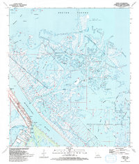
1993 Map of Venice
USGS Topo · Published 1993About this map
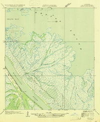
Venice stands at the edge of the Mississippi River's active delta, serving as a critical jumping-off point where the river branches into a complex web of distributaries. This 1993 map illustrates a landscape dominated by the industrial extraction and maritime infrastructure necessary to navigate the marsh, including the Oil and Gas Field and numerous dredging Canal systems. The transition from the protected waters of Alexis Bay and Grand Bay to the open Breton Sound is marked by a network of passes like Main Pass and Denesse Pass.
Find a feature on this map
52 named features on this map. Tap any name to fly to it.
Don’t see what you’re looking for? This feature index may not catch every label — zoom into the map to look around manually.
Map Details
Editions of this 1993 Venice Map
This is the sole edition of this map. No revisions or reprints were ever made.
Other maps of this area
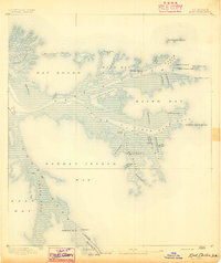
1893 · East Delta
USGS Topo · 1:62,500
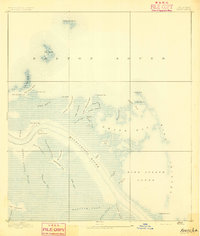
1893 · Forts
USGS Topo · 1:62,500
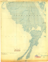
1893 · West Delta
USGS Topo · 1:62,500

1935 · Taylor Pass
USGS Topo · 1:31,680

1946 · Pass Tante Phine
USGS Topo · 1:31,680

1947 · Pass A Loutre West
USGS Topo · 1:31,680
1947 · Venice
USGS Topo · 1:31,680

1947 · Fort St. Philip
USGS Topo · 1:31,680

1947 · Main Pass
USGS Topo · 1:31,680

1948 · Forts
USGS Topo · 1:62,500