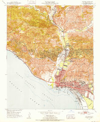
1951 Map of Ventura
USGS Topo · Published 1952About this map
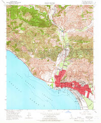
Ventura sits at the confluence of the Ventura River and the Pacific Ocean, showing a mid-century landscape where agricultural valleys meet growing urban infrastructure. The city core is anchored by the Mission San Buenaventura and Grant Memorial Park, surrounded by numerous educational institutions such as the Ventura Jr College and the Ventura School for Girls.
Find a feature on this map
62 named features on this map. Tap any name to fly to it.
Don’t see what you’re looking for? This feature index may not catch every label — zoom into the map to look around manually.
Map Details
Editions of this 1951 Ventura Map
7 editions found
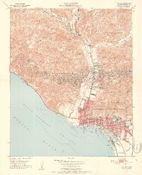
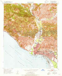
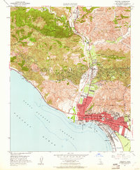
Other maps of this area

1903 · Santa Paula
USGS Topo · 1:62,500

1904 · Ventura
USGS Topo · 1:62,500

1904 · Hueneme
USGS Topo · 1:62,500

1941 · Ventura
USGS Topo · 1:62,500

1942 · Santa Paula
USGS Topo · 1:62,500

1942 · Hueneme
USGS Topo · 1:62,500

1943 · Hueneme
USGS Topo · 1:62,500

1947 · Santa Paula
USGS Topo · 1:62,500

1949 · Los Angeles
USGS Topo · 1:250,000

1949 · Oxnard
USGS Topo · 1:24,000