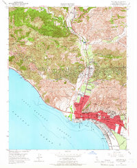
1951 Map of Ventura
USGS Topo · Published 1966About this map
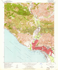
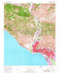
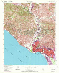
Ventura serves as the focal point of this 1951 landscape, centered around the historic Mission San Buenaventura and the bustling civic core containing the Court House and City Hall. The town’s early mid-century growth is evident in the residential expansion toward Pierpont Bay and the presence of numerous neighborhood institutions like Sheridan Way Sch and Henning Sch. Along the northern corridor, the Ventura River valley reveals an industrial and agricultural rhythm, dotted with settlements like Ortonville and Casitas Springs, and the specialized Ventura School for Girls.
Find a feature on this map
60 named features on this map. Tap any name to fly to it.
Don’t see what you’re looking for? This feature index may not catch every label — zoom into the map to look around manually.
Map Details
Editions of this 1951 Ventura Map
7 editions found
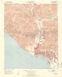
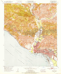
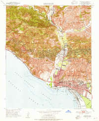
Other maps of this area

1903 · Santa Paula
USGS Topo · 1:62,500

1904 · Ventura
USGS Topo · 1:62,500

1904 · Hueneme
USGS Topo · 1:62,500

1941 · Ventura
USGS Topo · 1:62,500

1942 · Santa Paula
USGS Topo · 1:62,500

1942 · Hueneme
USGS Topo · 1:62,500

1943 · Hueneme
USGS Topo · 1:62,500

1947 · Santa Paula
USGS Topo · 1:62,500

1949 · Los Angeles
USGS Topo · 1:250,000

1949 · Oxnard
USGS Topo · 1:24,000