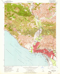
1951 Map of Ventura
USGS Topo · Published 1961About this map
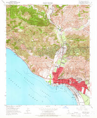
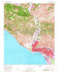
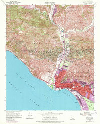
Ventura and its coastal surroundings are defined by the transition from the Santa Ana Mountain slopes to the Pacific Ocean shoreline. The city's post-war infrastructure is clearly visible, from the Ventura City Boundary expansion to local institutions like Ventura Jr College and the Foster Memorial Hosp. Industrial activity is centered on the Oil Wells peppered throughout the Cañada de San Miguelito and the hills of Ex Mission San Buenaventura.
Find a feature on this map
64 named features on this map. Tap any name to fly to it.
Don’t see what you’re looking for? This feature index may not catch every label — zoom into the map to look around manually.
Map Details
Editions of this 1951 Ventura Map
7 editions found
Other maps of this area

1903 · Santa Paula
USGS Topo · 1:62,500

1904 · Ventura
USGS Topo · 1:62,500

1904 · Hueneme
USGS Topo · 1:62,500

1941 · Ventura
USGS Topo · 1:62,500

1942 · Santa Paula
USGS Topo · 1:62,500

1942 · Hueneme
USGS Topo · 1:62,500

1943 · Hueneme
USGS Topo · 1:62,500

1947 · Santa Paula
USGS Topo · 1:62,500

1949 · Los Angeles
USGS Topo · 1:250,000

1949 · Oxnard
USGS Topo · 1:24,000