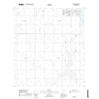
2018 Map of Venus NW
USGS Topo · Published 2018About this map
Placid Lakes and the surrounding Highlands County wetlands are defined by a complex network of residential planning and aviation infrastructure. The northern edge of the map features the developed grid of Placid Lakes, where streets like Buccaneer St NW and Challenger St NW reflect a mid-century suburban layout adjacent to Lake Placid. This development is remarkably integrated with air travel, evidenced by the concentration of landing strips including Placid Lakes Airport, Kings Port Airport, and the private Vince's Condominium Association Airport near the shoreline.
Find a feature on this map
45 named features on this map. Tap any name to fly to it.
Don’t see what you’re looking for? This feature index may not catch every label — zoom into the map to look around manually.
Map Details
Editions of this 2018 Venus NW Map
This is the sole edition of this map. No revisions or reprints were ever made.
Other maps of this area

1952 · Lake Placid
USGS Topo · 1:24,000

1953 · Lake June In Winter
USGS Topo · 1:24,000

1953 · Venus NW
USGS Topo · 1:24,000

1953 · Crewsville SE
USGS Topo · 1:24,000

1953 · Childs
USGS Topo · 1:24,000

1956 · Fort Pierce
USGS Topo · 1:250,000

1957 · Long Island Marsh SE
USGS Topo · 1:24,000

1957 · Venus
USGS Topo · 1:24,000

1957 · Venus SW
USGS Topo · 1:24,000

1957 · Long Island Marsh NE
USGS Topo · 1:24,000