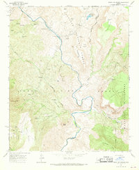
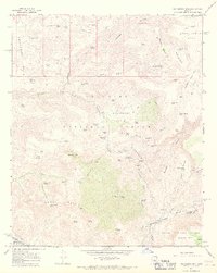
1967 Map of Verde Hot Springs
USGS Topo · Published 1968About this map
Verde Hot Springs and the Childs Powerplant sit at the center of this 1960s survey, where the Verde River carves a deep path through the intersection of the Coconino, Prescott, and Tonto National Forests. The map documents a rugged landscape of hydraulic infrastructure, featuring a flume, penstock, and a standpipe near the river bend, alongside the waters of Stehr Lake. This area marks a significant point of confluence where Fossil Creek and the East Verde River meet the main stem of the Verde. The terrain is characterized by high mesas and deep canyons, including Hardscrabble Mesa and Trap Canyon. For the researcher, the map identifies specific landmarks like the Lancaster settlement area, a corral, and numerous water tanks such as Quail Tank and Ikes Tank that supported life in this arid canyon country.
Find a feature on this map
65 named features on this map. Tap any name to fly to it.
Don’t see what you’re looking for? This feature index may not catch every label — zoom into the map to look around manually.
Map Details
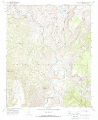
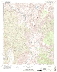
Editions of this 1967 Verde Hot Springs Map
3 editions found
Other maps of this area

1887 · Verde
USGS Topo · 1:250,000

1892 · Verde
USGS Topo · 1:250,000

1929 · Turret Peak
USGS Topo · 1:125,000

1933 · Turret Peak
USGS Topo · 1:125,000

1954 · Holbrook
USGS Topo · 1:250,000

1957 · Holbrook
USGS Topo · 1:250,000

1958 · Holbrook
USGS Topo · 1:250,000

1960 · Holbrook
USGS Topo · 1:250,000
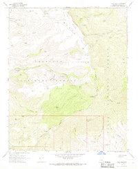
1967 · Tule Mesa
USGS Topo · 1:24,000
1967 · Hackberry Mtn.
USGS Topo · 1:24,000