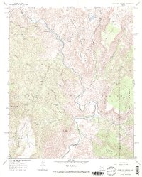
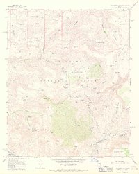
1967 Map of Verde Hot Springs
USGS Topo · Published 1968About this map
The Verde River carves a deep path through this mid-1960s landscape, serving as the boundary between Yavapai and Gila counties. This survey captures the remote outpost of Verde Hot Springs and the nearby Childs Powerplant, connected by a network of winding jeep trails. To the east, the terrain rises sharply into the Ikes Backbone and The Pocket, while the confluence with Fossil Creek marks a significant hydrologic junction.
Find a feature on this map
51 named features on this map. Tap any name to fly to it.
Don’t see what you’re looking for? This feature index may not catch every label — zoom into the map to look around manually.
Map Details
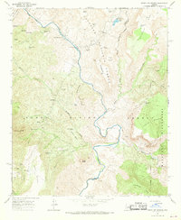
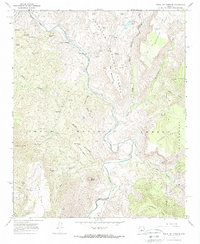
Editions of this 1967 Verde Hot Springs Map
3 editions found
Other maps of this area

1887 · Verde
USGS Topo · 1:250,000

1892 · Verde
USGS Topo · 1:250,000

1929 · Turret Peak
USGS Topo · 1:125,000

1933 · Turret Peak
USGS Topo · 1:125,000

1954 · Holbrook
USGS Topo · 1:250,000

1957 · Holbrook
USGS Topo · 1:250,000

1958 · Holbrook
USGS Topo · 1:250,000

1960 · Holbrook
USGS Topo · 1:250,000
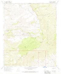
1967 · Tule Mesa
USGS Topo · 1:24,000
1967 · Hackberry Mtn.
USGS Topo · 1:24,000