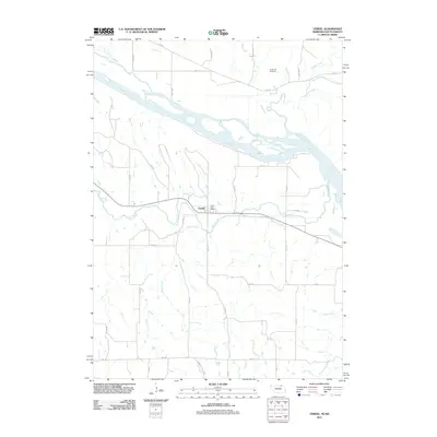
2011 Map of Verdel
USGS Topo · Published 2011About this map
Verdel sits as a quiet hub in northern Knox County, positioned just south of the wide bends of the Missouri River. The landscape is defined by the branching waterways that feed the river system, including Ponca Creek, which skirts the southern edge of the town site, and the drainage of Dewey Creek further south. This 2011 survey illustrates the rural infrastructure of the early 21st century, centered on the Verdel Post Office and a grid of section roads like 516 Ave. To the north, the terrain rises toward Cedar Hill Cemetery, while the southern reaches of the map touch the northern boundary of Niobrara State Park. The intricate network of smaller streams, such as Choteau Creek and Bull Creek, highlights the importance of drainage and riparian land use in this Nebraska-South Dakota borderland, where several named creeks converge toward the Missouri valley.
Find a feature on this map
28 named features on this map. Tap any name to fly to it.
Don’t see what you’re looking for? This feature index may not catch every label — zoom into the map to look around manually.
Map Details
Editions of this 2011 Verdel Map
This is the sole edition of this map. No revisions or reprints were ever made.
Other maps of this area

1950 · Niobrara
USGS Topo · 1:24,000

1950 · Verdel
USGS Topo · 1:24,000

1950 · Verdigre NE
USGS Topo · 1:24,000

1950 · Pishelville
USGS Topo · 1:24,000

1950 · Monowi
USGS Topo · 1:24,000

1952 · Monowi
USGS Topo · 1:24,000

1952 · Dorsey
USGS Topo · 1:24,000

1955 · O'Neill
USGS Topo · 1:250,000

1959 · O'Neill
USGS Topo · 1:250,000

1964 · Lynch NE
USGS Topo · 1:24,000