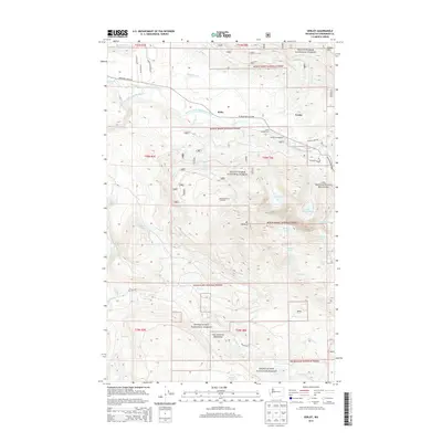
2014 Map of Verlot
USGS Topo · Published 2014About this map
The South Fork Stillaguamish River carves through this northern Washington landscape, serving as the primary corridor for the Mountain Loop Hwy. This route connects the small riverside settlements of Robe and Verlot, which provide access to the extensive recreational lands of the Mount Baker National Forest. High-altitude water bodies like Heather Lake, Lake Twentytwo, and the uniquely named Bathtub Lakes are perched among the steep ridges leading toward Mt Pilchuck. The southern portion of the map transition into the Snoqualmie National Forest, including the protected City of Everett Watershed along the Pilchuck River. The map highlights specialized land use areas such as the Lake Twentytwo Research Natural Area and several forest service facilities, including the Turlo Campground and the Mount Pilchuck Trailhead.
Find a feature on this map
56 named features on this map. Tap any name to fly to it.
Don’t see what you’re looking for? This feature index may not catch every label — zoom into the map to look around manually.
Map Details
Editions of this 2014 Verlot Map
This is the sole edition of this map. No revisions or reprints were ever made.
Other maps of this area

1899 · Stillaguamish
USGS Topo · 1:125,000

1901 · Stilaguamish
USGS Topo · 1:125,000

1921 · Sultan
USGS Topo · 1:125,000

1923 · Sultan
USGS Topo · 1:125,000

1955 · Concrete
USGS Topo · 1:250,000

1956 · Monroe
USGS Topo · 1:62,500

1956 · Granite Falls
USGS Topo · 1:62,500

1957 · Silverton
USGS Topo · 1:62,500

1957 · Index
USGS Topo · 1:62,500

1957 · Wenatchee
USGS Topo · 1:250,000