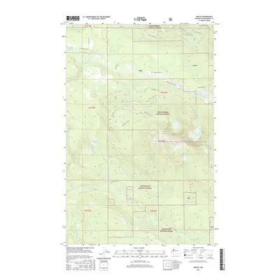
2017 Map of Verlot
USGS Topo · Published 2017About this map
Verlot and Robe serve as small mountain outposts along the South Fork Stillaguamish River, situated where the Mountain Loop Hwy provides access to the transition between the Mount Baker National Forest and the Snoqualmie National Forest. This high-altitude landscape is defined by the steep slopes of Mt Pilchuck and Green Mtn, with numerous alpine water bodies such as Heather Lake, Lake Twenty-two, and the remote Bathtub Lakes tucked into the ridges. The presence of the Monte Cristo Grade Rd following the river valley highlights the historical transport routes used for early 20th-century resource extraction and recreation. Below the granite peaks, the drainage network of the Pilchuck River and Canyon Creek carves through the forest, revealing a terrain that has long drawn foresters and outdoorsmen to the North Cascades region.
Find a feature on this map
58 named features on this map. Tap any name to fly to it.
Don’t see what you’re looking for? This feature index may not catch every label — zoom into the map to look around manually.
Map Details
Editions of this 2017 Verlot Map
This is the sole edition of this map. No revisions or reprints were ever made.
Other maps of this area

1899 · Stillaguamish
USGS Topo · 1:125,000

1901 · Stilaguamish
USGS Topo · 1:125,000

1921 · Sultan
USGS Topo · 1:125,000

1923 · Sultan
USGS Topo · 1:125,000

1955 · Concrete
USGS Topo · 1:250,000

1956 · Monroe
USGS Topo · 1:62,500

1956 · Granite Falls
USGS Topo · 1:62,500

1957 · Silverton
USGS Topo · 1:62,500

1957 · Index
USGS Topo · 1:62,500

1957 · Wenatchee
USGS Topo · 1:250,000