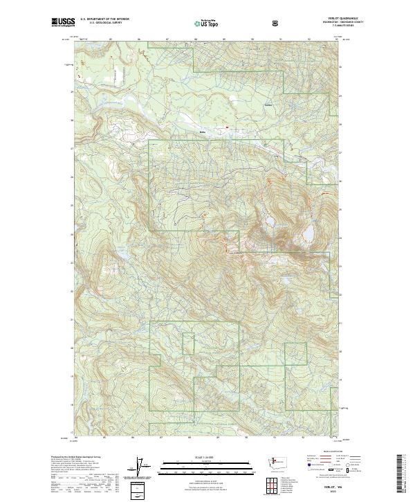
2023 Map of Verlot
USGS Topo · Published 2023About this map
The South Fork Stillaguamish River flows through the northern reaches of this Snohomish County survey, which spans the intersection of the Mount Baker National Forest and the Snoqualmie National Forest. Centered on the settlement of Robe, the landscape is defined by the steep elevation gains toward Mt Pilchuck and its associated Pilchuck Lookout Trl. This area is a significant corridor for recreation and timber history, traced by the winding path of the Mountain Loop Hwy.
Find a feature on this map
51 named features on this map. Tap any name to fly to it.
Don’t see what you’re looking for? This feature index may not catch every label — zoom into the map to look around manually.
Map Details
Editions of this 2023 Verlot Map
This is the sole edition of this map. No revisions or reprints were ever made.
Other maps of this area
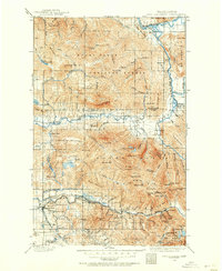
1899 · Stillaguamish
USGS Topo · 1:125,000
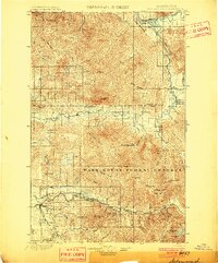
1901 · Stilaguamish
USGS Topo · 1:125,000
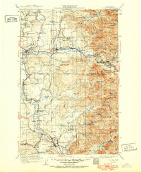
1921 · Sultan
USGS Topo · 1:125,000
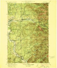
1923 · Sultan
USGS Topo · 1:125,000
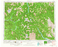
1955 · Concrete
USGS Topo · 1:250,000
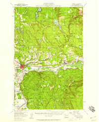
1956 · Monroe
USGS Topo · 1:62,500
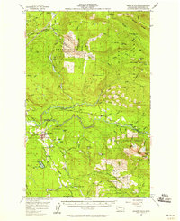
1956 · Granite Falls
USGS Topo · 1:62,500
1957 · Silverton
USGS Topo · 1:62,500
1957 · Index
USGS Topo · 1:62,500
1957 · Wenatchee
USGS Topo · 1:250,000