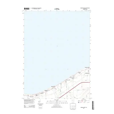
2013 Map of Vermilion West
USGS Topo · Published 2013About this map
Lake Erie defines the northern extent of this shoreline survey, where a dense string of seasonal and residential lakefront communities stretches westward from the city of Vermilion. The landscape transitions from the urban street grid of the city's western edge into a series of distinct beach colonies, including Mitiwanga, Ruggles Beach, and Volunteer Bay. This pattern of development reflects the region's long-standing identity as a summer destination and coastal retreat for Northern Ohio residents.
Find a feature on this map
37 named features on this map. Tap any name to fly to it.
Don’t see what you’re looking for? This feature index may not catch every label — zoom into the map to look around manually.
Map Details
Editions of this 2013 Vermilion West Map
This is the sole edition of this map. No revisions or reprints were ever made.
Other maps of this area

1903 · Vermilion
USGS Topo · 1:62,500

1904 · Sandusky
USGS Topo · 1:62,500

1916 · Kelleys Island
USGS Topo · 1:62,500

1919 · Kelleys Island
USGS Topo · 1:62,500

1956 · Toledo
USGS Topo · 1:250,000

1959 · Milan
USGS Topo · 1:24,000

1959 · Berlin Heights
USGS Topo · 1:24,000

1959 · Vermilion East
USGS Topo · 1:24,000

1959 · Vermilion West
USGS Topo · 1:24,000

1959 · Kipton
USGS Topo · 1:24,000