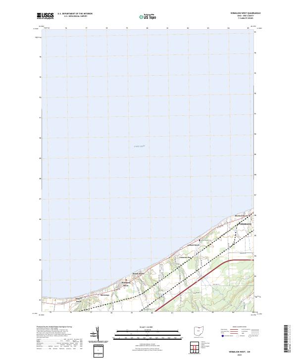
2023 Map of Vermilion West
USGS Topo · Published 2023About this map
Lake Erie defines the northern extent of this coastal survey, where a series of residential beach communities line the shore between Huron and the western edge of Vermilion. The landscape transitions from the open waters of the lake through established summer colonies and year-round neighborhoods like Ruggles Beach, Mitiwanga, and Heidelberg Beach. This area reflects a long-standing tradition of Great Lakes shorefront living, with development concentrated heavily along W Lake Rd and Cleveland Rd E.
Find a feature on this map
33 named features on this map. Tap any name to fly to it.
Don’t see what you’re looking for? This feature index may not catch every label — zoom into the map to look around manually.
Map Details
Editions of this 2023 Vermilion West Map
This is the sole edition of this map. No revisions or reprints were ever made.
Other maps of this area

1903 · Vermilion
USGS Topo · 1:62,500

1904 · Sandusky
USGS Topo · 1:62,500

1916 · Kelleys Island
USGS Topo · 1:62,500

1919 · Kelleys Island
USGS Topo · 1:62,500

1956 · Toledo
USGS Topo · 1:250,000

1959 · Milan
USGS Topo · 1:24,000

1959 · Berlin Heights
USGS Topo · 1:24,000

1959 · Vermilion East
USGS Topo · 1:24,000

1959 · Vermilion West
USGS Topo · 1:24,000

1959 · Kipton
USGS Topo · 1:24,000