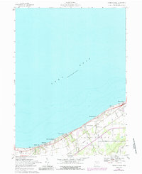
1969 Map of Vermilion West
USGS Topo · Published 1988About this map
Lake Erie defines the northern reaches of this coastal survey, where a string of beach communities and resorts line the lakefront during the mid-to-late 20th century. Moving west from the growing city of Vermilion, the shoreline is populated by established seasonal and residential enclaves such as Bluebird Beach, Orchard Beach, and Volunteer Bay. Further west, Beulah Beach, Heidelberg Beach, and Mitiwanga sit along the bluffs above the water, separated by small drainages like Chappel Creek and Sugar Creek. The landscape inland transition into agricultural and residential development, bisected by major transportation corridors including the Norfolk And Western and Conrail lines. These railroads, paralleling the shore, shaped the growth of these lakefront settlements. Local life is anchored by landmarks like Grace Ch and Sherod Park, while family-named roads like Coen Road and Joppa Road provide a look into the rural property lines of the era.
Find a feature on this map
32 named features on this map. Tap any name to fly to it.
Don’t see what you’re looking for? This feature index may not catch every label — zoom into the map to look around manually.
Map Details
Editions of this 1969 Vermilion West Map
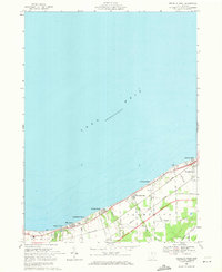
2 editions found
Other maps of this area

1903 · Vermilion
USGS Topo · 1:62,500

1904 · Sandusky
USGS Topo · 1:62,500

1916 · Kelleys Island
USGS Topo · 1:62,500

1919 · Kelleys Island
USGS Topo · 1:62,500

1956 · Toledo
USGS Topo · 1:250,000

1959 · Milan
USGS Topo · 1:24,000

1959 · Berlin Heights
USGS Topo · 1:24,000

1959 · Vermilion East
USGS Topo · 1:24,000

1959 · Vermilion West
USGS Topo · 1:24,000

1959 · Kipton
USGS Topo · 1:24,000