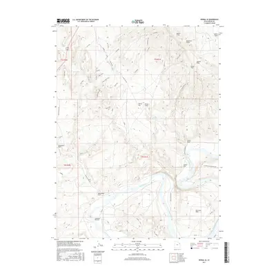
2017 Map of Vernal SE
USGS Topo · Published 2017About this map
The Green River carves a dramatic path through this section of Uintah County, creating prominent riparian features like the wide Horseshoe Bend and the low-lying Hamacker Bottoms. To the northeast, the terrain rises toward Asphalt Ridge and Ashley Valley, where the Highline Canal manages water distribution for the region. This 2017 survey reveals a landscape where modern recreational trail names like Got Milk?, And Cookies, Jackalope, and Slippery When Wet intersect with older geographic identifiers such as Collier Draw and Mantle Gulch.
Find a feature on this map
33 named features on this map. Tap any name to fly to it.
Don’t see what you’re looking for? This feature index may not catch every label — zoom into the map to look around manually.
Map Details
Editions of this 2017 Vernal SE Map
This is the sole edition of this map. No revisions or reprints were ever made.
Other maps of this area

1885 · Ashley
USGS Topo · 1:250,000

1907 · Jensen
USGS Topo · 1:125,000

1910 · Jensen
USGS Topo · 1:125,000

1917 · Vernal
USGS Topo · 1:125,000

1954 · Vernal
USGS Topo · 1:250,000

1958 · Vernal
USGS Topo · 1:250,000

1960 · Vernal
USGS Topo · 1:250,000

1964 · Vernal NE
USGS Topo · 1:24,000

1964 · Brennan Basin
USGS Topo · 1:24,000
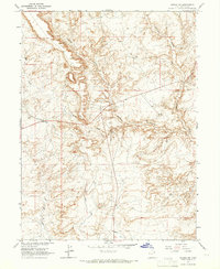
1964 · Vernal SW
USGS Topo · 1:24,000