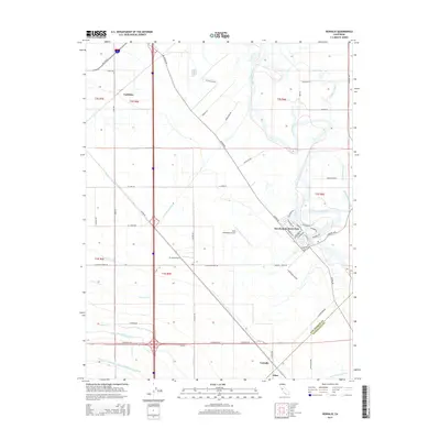
2015 Map of Vernalis
USGS Topo · Published 2015About this map
Agricultural life and complex water management define the landscape of the San Joaquin Valley south of Tracy. The San Joaquin River meanders along the eastern edge, bordered by the San Joaquin River Club and numerous sloughs like Walthall Slough and Red Bridge Slough. The heavy reliance on irrigation is evident through an extensive network of man-made waterways, including the Governor Edmund G Brown California Aqueduct, the Delta-Mendota Canal, and the Hetch Hetchy Aqueduct, which cut through the flat terrain. Small settlements such as Vernalis and Cochrane anchor the rural road grid, while the New Jerusalem Airport and 33 Strip Airport provide aerial access to these fertile plains. Regional connectivity is further traced by the intersection of Kasson Rd and the prominent Banta Carbona Canal, illustrating the engineered environment necessary for the region's large-scale farming operations.
Find a feature on this map
67 named features on this map. Tap any name to fly to it.
Don’t see what you’re looking for? This feature index may not catch every label — zoom into the map to look around manually.
Map Details
Editions of this 2015 Vernalis Map
This is the sole edition of this map. No revisions or reprints were ever made.
Other maps of this area

1913 · Romain
USGS Topo · 1:31,680

1914 · Manteca
USGS Topo · 1:31,680

1914 · Union Island
USGS Topo · 1:31,680

1915 · Vernalis
USGS Topo · 1:31,680

1915 · Lathrop
USGS Topo · 1:31,680

1915 · Ripon
USGS Topo · 1:31,680

1915 · Westley
USGS Topo · 1:31,680

1916 · Tracy
USGS Topo · 1:31,680

1916 · Romain
USGS Topo · 1:31,680

1922 · Carbona
USGS Topo · 1:62,500