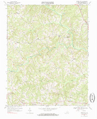
1968 Map of Vernon Hill
USGS Topo · Published 1985About this map
Vernon Hill and the surrounding Halifax County countryside are defined by a complex network of waterways and small agrarian settlements in this late 1960s survey. The Banister River meanders across the landscape, joined by tributaries such as Sandy Creek and Polecat Creek. These watercourses historically dictated the placement of early infrastructure, seen here in crossings like Nunhleys Bridge.
Find a feature on this map
28 named features on this map. Tap any name to fly to it.
Don’t see what you’re looking for? This feature index may not catch every label — zoom into the map to look around manually.
Map Details
Editions of this 1968 Vernon Hill Map
Other maps of this area

1952 · Milton
USGS Topo · 1:62,500

1953 · South Boston
USGS Topo · 1:62,500

1953 · Greensboro
USGS Topo · 1:250,000

1954 · Greensboro
USGS Topo · 1:250,000

1954 · Halifax
USGS Topo · 1:62,500

1954 · Riceville
USGS Topo · 1:62,500

1956 · Milton
USGS Topo · 1:62,500

1957 · South Boston
USGS Topo · 1:62,500

1962 · Greensboro
USGS Topo · 1:250,000

1966 · Greensboro
USGS Topo · 1:250,000