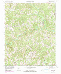
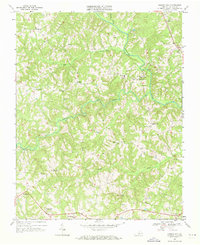
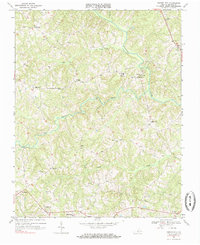
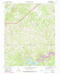
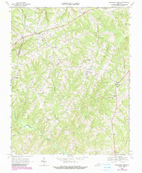
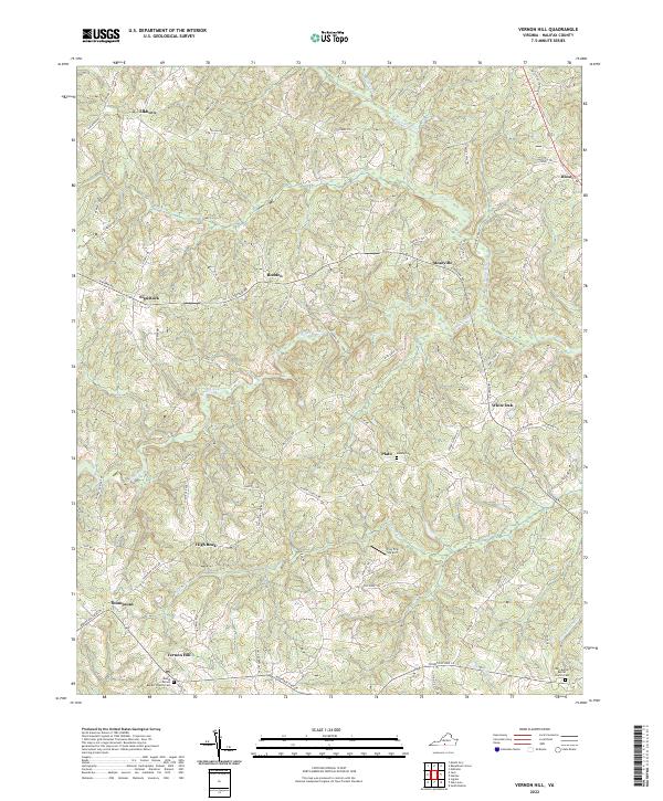
1968 Map of Vernon Hill
USGS Topo · Published 1990About this map
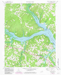
The winding Banister River and its numerous tributaries, including Sandy Creek and Poteat Creek, define the landscape of this Halifax County rural district. Based on surveys from 1968 with late 1980s updates, the map reveals a network of small, scattered communities like Meadville, Thompsons, and Vernon Hill connected by winding secondary roads. Cultural life is anchored by a significant concentration of local churches, such as Millstone Ch, Banister Hill Ch, and New Zion Ch. A distinctive feature in the south is the Wilson Memorial Sch, while a modern Pipeline and a Landing Strip near the river reflect the evolving infrastructure of the era. This document preserves the locations of numerous unnamed family cemeteries and small rural landmarks like Sign Rock and White Oak before further development altered the tobacco country landscape.
Find a feature on this map
28 named features on this map. Tap any name to fly to it.
Don’t see what you’re looking for? This feature index may not catch every label — zoom into the map to look around manually.
Map Details
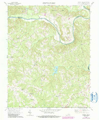
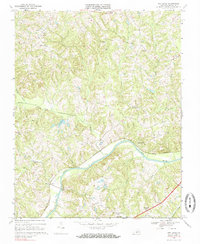
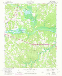
Editions of this 1968 Vernon Hill Map
Historical Maps of Vernon Hill Through Time
15 maps found

1954 Riceville
Halifax County, VA
1968 Alton
Halifax County, VA
1968 Buffalo Springs
Halifax County, VA
1968 Conner Lake
Halifax County, VA
1968 Oak Level
Halifax County, VA
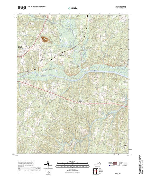
1968 Omega
Halifax County, VA
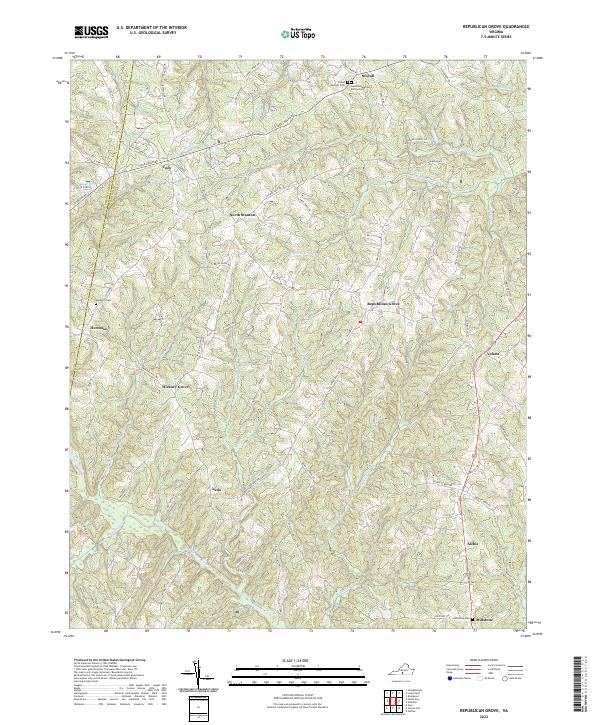
1968 Republican Grove
Halifax County, VA
1968 Vernon Hill
Halifax County, VA

2022 Alton
Halifax County, VA
2022 Buffalo Springs
Halifax County, VA
2022 Conner Lake
Halifax County, VA
2022 Oak Level
Halifax County, VA
2022 Omega
Halifax County, VA
2022 Republican Grove
Halifax County, VA
2022 Vernon Hill
Halifax County, VA