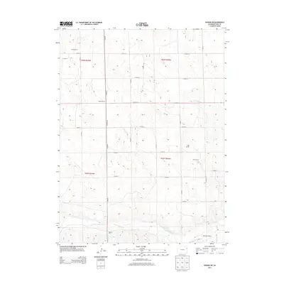
2013 Map of Vernon SW
USGS Topo · Published 2013About this map
The Arikaree River winds through the southern reaches of this Yuma County landscape, defining the local drainage patterns alongside Copperkettle Cr. The terrain is characterized by broad agricultural and grazing tracts, marked by a systematic grid of county roads that facilitate movement between isolated homesteads and ranching operations. Significant family-owned properties such as the Dunning Ranch in the northwest and the Wingfield Ranch further south highlight the enduring agricultural heritage of the region.
Find a feature on this map
29 named features on this map. Tap any name to fly to it.
Don’t see what you’re looking for? This feature index may not catch every label — zoom into the map to look around manually.
Map Details
Editions of this 2013 Vernon SW Map
This is the sole edition of this map. No revisions or reprints were ever made.
Other maps of this area

1954 · Limon
USGS Topo · 1:250,000

1957 · Limon
USGS Topo · 1:250,000

1958 · Limon
USGS Topo · 1:250,000

1963 · Vernon
USGS Topo · 1:24,000

1963 · Wildcat Canyon
USGS Topo · 1:24,000

1968 · Abarr SE
USGS Topo · 1:24,000

1968 · Vernon SW
USGS Topo · 1:24,000

1968 · Spring Canyon
USGS Topo · 1:24,000

1968 · Adler Creek
USGS Topo · 1:24,000

1968 · Idalia
USGS Topo · 1:24,000