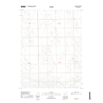
2019 Map of Vernon SW
USGS Topo · Published 2019About this map
The Arikaree River flows through the southern reaches of this corner of Yuma County, carving a distinct hydrological corridor across the high plains. This 2019 survey documents a landscape defined by its grid-based rural infrastructure and intermittent drainage systems. Small tributaries like Copperkettle Cr and Hay Gulch cut through the terrain, leading toward the primary river valley. The region is marked by a network of county roads, including Co RD U and Co RD 20, which navigate the surveyed sections of the Public Land Survey System. Further south, the topography grows more varied near Spring Canyon, where the elevation shifts toward the river bottomlands. This map illustrates the modern spatial organization of eastern Colorado ranchland, where water sources and surveyed boundaries continue to dictate the placement of local transit routes and land use.
Find a feature on this map
14 named features on this map. Tap any name to fly to it.
Don’t see what you’re looking for? This feature index may not catch every label — zoom into the map to look around manually.
Map Details
Editions of this 2019 Vernon SW Map
This is the sole edition of this map. No revisions or reprints were ever made.
Other maps of this area

1954 · Limon
USGS Topo · 1:250,000

1957 · Limon
USGS Topo · 1:250,000

1958 · Limon
USGS Topo · 1:250,000

1963 · Vernon
USGS Topo · 1:24,000

1963 · Wildcat Canyon
USGS Topo · 1:24,000

1968 · Abarr SE
USGS Topo · 1:24,000

1968 · Vernon SW
USGS Topo · 1:24,000

1968 · Spring Canyon
USGS Topo · 1:24,000

1968 · Adler Creek
USGS Topo · 1:24,000

1968 · Idalia
USGS Topo · 1:24,000