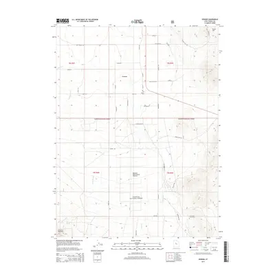
2014 Map of Vernon
USGS Topo · Published 2014About this map
Vernon sits at the intersection of rural life and federal land management in Tooele County. This agricultural settlement is framed by the Vernon Hills to the northeast and the foothills of the Sheeprock Mountains to the southwest. The presence of the Benmore Experimental Pastures and the sprawling Wasatch National Forest boundaries illustrates the area's long-standing reliance on rangeland and timber resources. Local history is anchored by the Vernon Cem and the specific landmark of the Chief Green Jacket Grave near Benmore. Water is a defining factor in this arid landscape, with various drainages such as Vernon Cr, Faust Cr, and Dutch Cr feeding the valley floor. The road network, including names like Sage Flat Rd and Old Aqueduct Rd, reflects both modern transit and historical infrastructure needs in this high-desert environment.
Find a feature on this map
46 named features on this map. Tap any name to fly to it.
Don’t see what you’re looking for? This feature index may not catch every label — zoom into the map to look around manually.
Map Details
Editions of this 2014 Vernon Map
This is the sole edition of this map. No revisions or reprints were ever made.
Other maps of this area

1885 · Sevier Desert
USGS Topo · 1:250,000

1885 · Tooele Valley
USGS Topo · 1:250,000

1953 · Tooele
USGS Topo · 1:250,000

1953 · Delta
USGS Topo · 1:250,000

1955 · Tooele
USGS Topo · 1:250,000

1958 · Delta
USGS Topo · 1:250,000

1962 · Delta
USGS Topo · 1:250,000
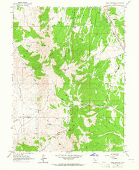
1963 · Sabie Mountain
USGS Topo · 1:24,000

1963 · Dutch Peak
USGS Topo · 1:24,000
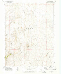
1971 · Vernon NE
USGS Topo · 1:24,000