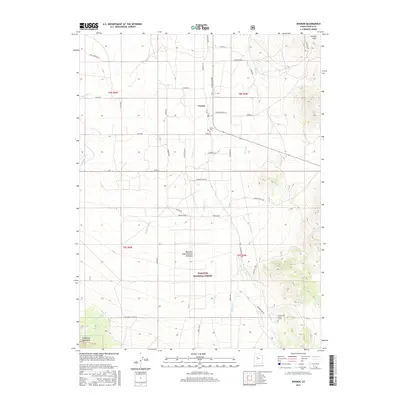
2017 Map of Vernon
USGS Topo · Published 2017About this map
Vernon serves as the central hub of this high-desert landscape in Tooele County, where the valley floor meets the northern reaches of the Sheeprock Mountains. This map highlights a transition from the agricultural and research-oriented lands of the Benmare Experimental Pastures to the protected timber and rangelands of the Wasatch National Forest. Local history is anchored by the Vernon Cem and the distinctive Chief Green Jacket Grave, located near the southeastern corner. Water management is a primary theme of the terrain, evidenced by the numerous drainages like Dutch Creek and Faust Creek, as well as the Vernon Creek - Old Aqueduct, which traces the historical movement of water from the mountains toward the settlement and the Vernon Hills.
Find a feature on this map
45 named features on this map. Tap any name to fly to it.
Don’t see what you’re looking for? This feature index may not catch every label — zoom into the map to look around manually.
Map Details
Editions of this 2017 Vernon Map
This is the sole edition of this map. No revisions or reprints were ever made.
Other maps of this area

1885 · Sevier Desert
USGS Topo · 1:250,000

1885 · Tooele Valley
USGS Topo · 1:250,000

1953 · Tooele
USGS Topo · 1:250,000

1953 · Delta
USGS Topo · 1:250,000

1955 · Tooele
USGS Topo · 1:250,000

1958 · Delta
USGS Topo · 1:250,000

1962 · Delta
USGS Topo · 1:250,000
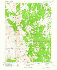
1963 · Sabie Mountain
USGS Topo · 1:24,000

1963 · Dutch Peak
USGS Topo · 1:24,000
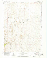
1971 · Vernon NE
USGS Topo · 1:24,000