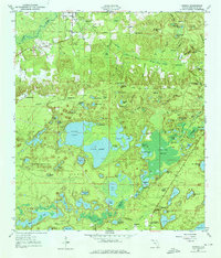
1950 Map of Vernon
USGS Topo · Published 1976About this map
The settlement of Vernon sits at the northern edge of this Washington County landscape, which is defined by an intricate network of sinkhole lakes and wetlands. The central region is dominated by the expansive waters of Hicks Lake and Lucas Lake, surrounded by dozens of smaller named ponds and swamps like Pippin Mill Swamp and Pine Log Swamp. This mid-century survey reveals a rural community supported by a cluster of country churches and small schoolhouses, including Shiloh Ch, Sylvania Ch, and the Massalene Sch. To the south, the village of Panama Heights and the Greenhead Crystal Lake P O mark centers of local life, while family-named sites like the Potter Cem and Tiller Cem offer valuable points of reference for genealogical research into the area's established families.
Find a feature on this map
108 named features on this map. Tap any name to fly to it.
Don’t see what you’re looking for? This feature index may not catch every label — zoom into the map to look around manually.
Map Details
Editions of this 1950 Vernon Map
2 editions found
Other maps of this area

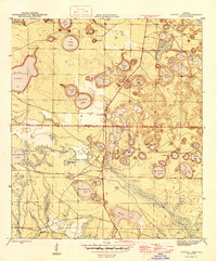
1944 · Crystal Lake
USGS Topo · 1:24,000

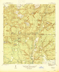
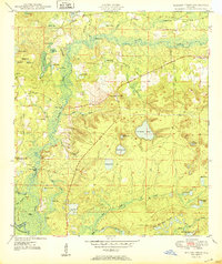
1944 · Bennett
USGS Topo · 1:24,000
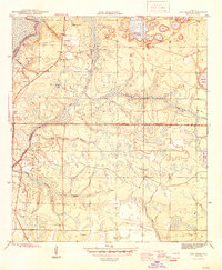
1945 · Bennett
USGS Topo · 1:31,680
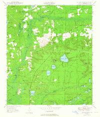
1945 · Red Head
USGS Topo · 1:31,680
1945 · Crystal Lake
USGS Topo · 1:31,680
1949 · Millers Ferry
USGS Topo · 1:24,000

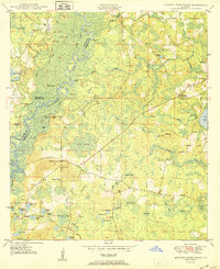
1949 · Hinsons Cross Roads
USGS Topo · 1:24,000
1950 · Millers Ferry
USGS Topo · 1:24,000
1950 · Hinsons Cross Roads
USGS Topo · 1:24,000
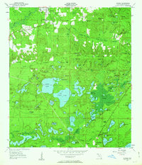
1950 · Vernon
USGS Topo · 1:24,000