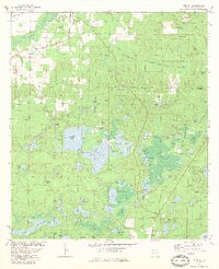
1982 Map of Vernon
USGS Topo · Published 1983About this map
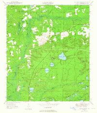
Holmes Creek winds through the northwestern corner of this Florida panhandle landscape, anchoring a region defined by extensive wetlands and karst lake systems. The large central basins of Hicks Lake and Lucas Lake dominate the terrain, featuring landmarks like Sand Landing and the curiously named Ed Brown Hole. These waters, along with complex drainages like Pippin Mill Swamp and Holmes Valley Swamp, illustrate the intricate hydrology of Washington County before modern development significantly altered the drainage patterns.
Find a feature on this map
110 named features on this map. Tap any name to fly to it.
Don’t see what you’re looking for? This feature index may not catch every label — zoom into the map to look around manually.
Map Details
Editions of this 1982 Vernon Map
This is the sole edition of this map. No revisions or reprints were ever made.
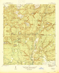
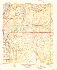
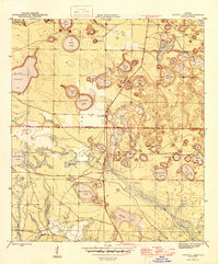
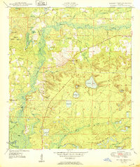
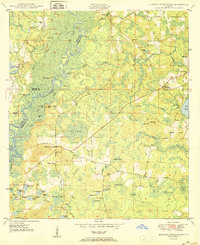
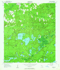
Other maps of this area

1944 · Crystal Lake
USGS Topo · 1:24,000

1944 · Bennett
USGS Topo · 1:24,000
1945 · Bennett
USGS Topo · 1:31,680
1945 · Red Head
USGS Topo · 1:31,680
1945 · Crystal Lake
USGS Topo · 1:31,680
1949 · Millers Ferry
USGS Topo · 1:24,000

1949 · Hinsons Cross Roads
USGS Topo · 1:24,000
1950 · Millers Ferry
USGS Topo · 1:24,000
1950 · Hinsons Cross Roads
USGS Topo · 1:24,000
1950 · Vernon
USGS Topo · 1:24,000