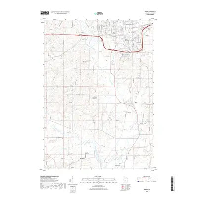
2018 Map of Verona
USGS Topo · Published 2018About this map
The Sugar River and its various tributaries, including the West Branch Sugar River and Flynn Creek, define the drainage and settlement patterns of this section of Dane County. In the north, the growing community of Verona is flanked by the Verona Airport and the recreational Badger Prairie Mountain Bike Trail. The landscape transitions from the urbanized corridors of the north to the unincorporated hamlets of Paoli and Basco further south, where the terrain is marked by significant elevations like Badger Mill Hill.
Find a feature on this map
122 named features on this map. Tap any name to fly to it.
Don’t see what you’re looking for? This feature index may not catch every label — zoom into the map to look around manually.
Map Details
Editions of this 2018 Verona Map
This is the sole edition of this map. No revisions or reprints were ever made.
Other maps of this area

1889 · Evansville
USGS Topo · 1:62,500

1890 · Madison
USGS Topo · 1:62,500

1892 · Madison
USGS Topo · 1:62,500

1894 · Evansville
USGS Topo · 1:62,500

1904 · Madison
USGS Topo · 1:62,500

1906 · Evansville
USGS Topo · 1:62,500

1906 · Madison
USGS Topo · 1:62,500

1907 · Cross Plains
USGS Topo · 1:62,500

1909 · Cross Plains
USGS Topo · 1:62,500

1923 · New Glarus
USGS Topo · 1:62,500