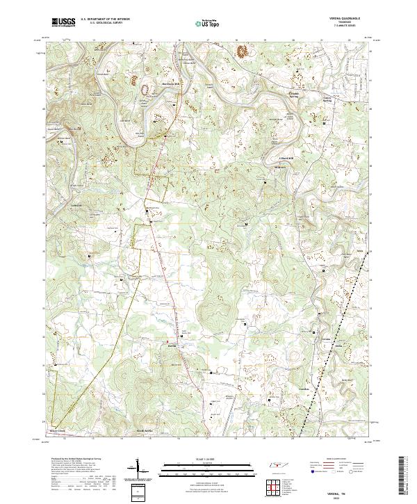
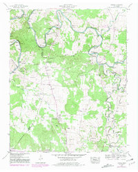
2022 Map of Verona
USGS Topo · Published 2022About this map
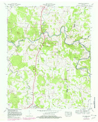
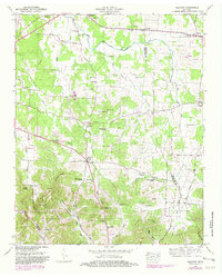
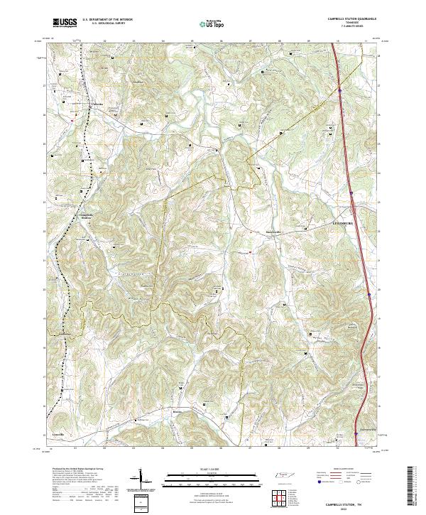
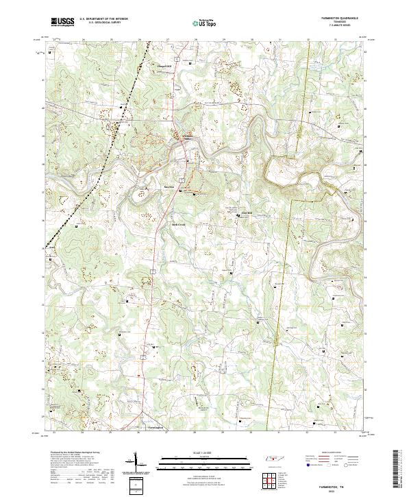
The Duck River snakes across this central Tennessee landscape, defining the rural character of Marshall and Maury counties. Its numerous bends and islands, such as Tates Island, Osteen Bend, and Cundiff Ford Island, suggest a river valley where topography and water flow historically dictated travel and settlement patterns. The map reveal a network of small agricultural communities like Hardison Mill, Milltown, and Verona, connected by historic thoroughfares like the Lewisburg and Franklin Pike.
Find a feature on this map
151 named features on this map. Tap any name to fly to it.
Don’t see what you’re looking for? This feature index may not catch every label — zoom into the map to look around manually.
Map Details
Editions of this 2022 Verona Map
This is the sole edition of this map. No revisions or reprints were ever made.
Historical Maps of Berlin Through Time
14 maps found
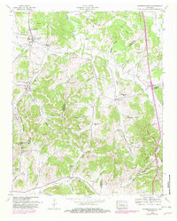
1936 Belfast
Marshall County, TN
1936 Campbells Station
Marshall County, TN
1936 Farmington
Marshall County, TN
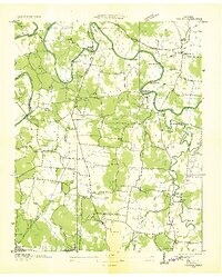
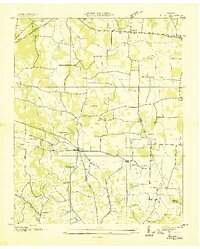
1936 Verona
Marshall County, TN
1947 Farmington
Marshall County, TN
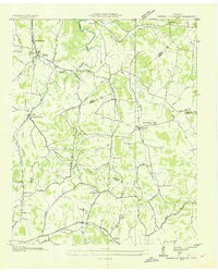
1947 Verona
Marshall County, TN
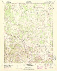
1949 Belfast
Marshall County, TN
1949 Campbells Station
Marshall County, TN
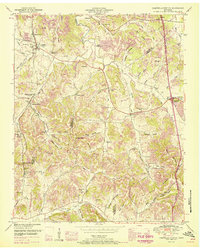
1951 Belfast
Marshall County, TN
1951 Campbells Station
Marshall County, TN
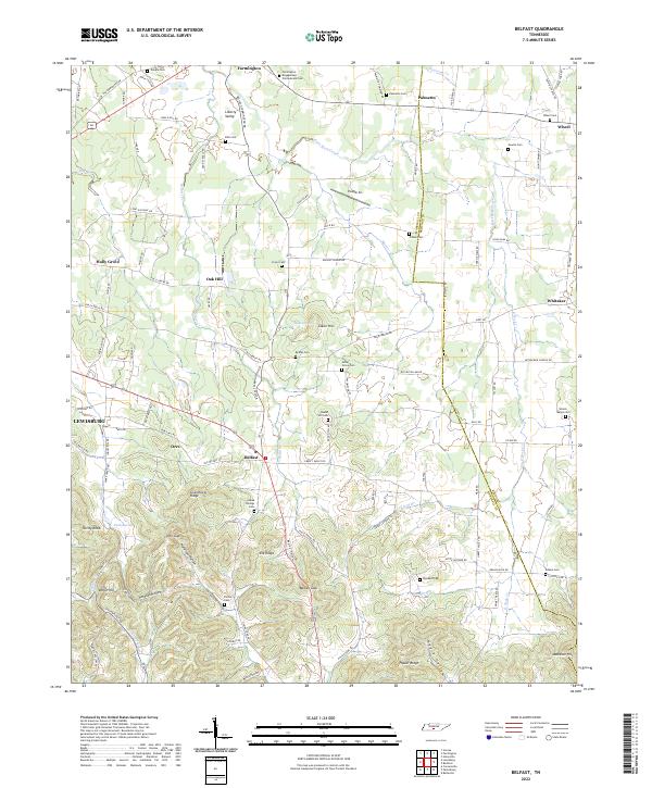
2022 Belfast
Marshall County, TN
2022 Campbells Station
Marshall County, TN
2022 Farmington
Marshall County, TN
2022 Verona
Marshall County, TN