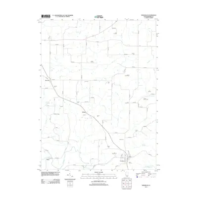
2012 Map of Versailles
USGS Topo · Published 2012About this map
Versailles serves as the primary hub for this portion of Brown County, situated near the southern edge of the survey area. The landscape is defined by the winding course of McKee Cr and its various tributaries, including Logan Cr and Camp Cr, which carve through the terrain. A high density of rural burial grounds, such as Logan Creek Cem and the Logsdon Number 1 Cem, suggests a long-established pattern of family farmsteads throughout the region.
Find a feature on this map
92 named features on this map. Tap any name to fly to it.
Don’t see what you’re looking for? This feature index may not catch every label — zoom into the map to look around manually.
Map Details
Editions of this 2012 Versailles Map
This is the sole edition of this map. No revisions or reprints were ever made.
Other maps of this area

1923 · Rushville
USGS Topo · 1:62,500

1926 · Rushville
USGS Topo · 1:62,500

1926 · Mt Sterling
USGS Topo · 1:62,500

1928 · Meredosia
USGS Topo · 1:62,500

1929 · Mt Sterling
USGS Topo · 1:62,500

1931 · Meredosia
USGS Topo · 1:62,500

1946 · Augusta
USGS Topo · 1:62,500

1948 · Quincy
USGS Topo · 1:250,000

1949 · Augusta
USGS Topo · 1:62,500

1956 · Quincy
USGS Topo · 1:250,000