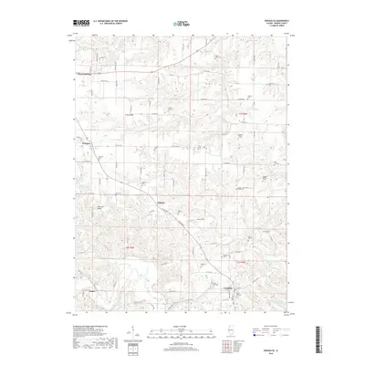
2018 Map of Versailles
USGS Topo · Published 2018About this map
Versailles and Mount Sterling anchor the southern and northern reaches of this Brown County landscape, where the terrain is deeply carved by the drainage networks of McKee Creek and Logan Cr. The area is characterized by a high density of small family and community burial grounds, which offer significant value for genealogical research. These include the Icabod Perry Cem, Huffman Cem, and Logsdon Number 1 Cem, many of which are situated on the rising ground above the creek bottoms. Near the settlement of Gilbirds, the land transitions toward Wheeler Ridge, while the southeastern corner features Versailles Springs and the Hambaugh-Martin Number Five Reservoir. This network of rural roads and scattered hamlets like Hersman and Jaques reflects a long-standing agricultural pattern defined by the rugged local topography.
Find a feature on this map
92 named features on this map. Tap any name to fly to it.
Don’t see what you’re looking for? This feature index may not catch every label — zoom into the map to look around manually.
Map Details
Editions of this 2018 Versailles Map
This is the sole edition of this map. No revisions or reprints were ever made.
Other maps of this area

1923 · Rushville
USGS Topo · 1:62,500

1926 · Rushville
USGS Topo · 1:62,500

1926 · Mt Sterling
USGS Topo · 1:62,500

1928 · Meredosia
USGS Topo · 1:62,500

1929 · Mt Sterling
USGS Topo · 1:62,500

1931 · Meredosia
USGS Topo · 1:62,500

1946 · Augusta
USGS Topo · 1:62,500

1948 · Quincy
USGS Topo · 1:250,000

1949 · Augusta
USGS Topo · 1:62,500

1956 · Quincy
USGS Topo · 1:250,000