1961 Map of Versailles
USGS Topo · Published 1961About this map
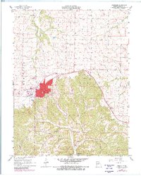
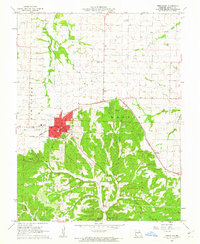
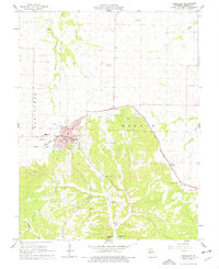
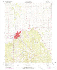
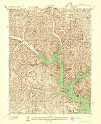
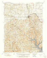
The county seat of Versailles serves as the central hub of this Missouri landscape, where mid-century urban development meets the transitioning terrain of the Ozark foothills. This survey, updated with late-1970s photogrammetric data, details the town's expansion around the Courthouse and the County Fairground, alongside critical local infrastructure like the Otten Memorial Airport and a municipal Filtration Plant. The southern portion of the map reveals a more dispersed settlement pattern defined by the winding course of Little Gravois Creek and the St Louis Southwestern rail line.
Find a feature on this map
27 named features on this map. Tap any name to fly to it.
Don’t see what you’re looking for? This feature index may not catch every label — zoom into the map to look around manually.
Map Details
Editions of this 1961 Versailles Map
4 editions found
Other maps of this area

1888 · Versailles
USGS Topo · 1:125,000

1888 · Boonville
USGS Topo · 1:125,000

1893 · Versailles
USGS Topo · 1:125,000

1904 · Eldon
USGS Topo · 1:62,500

1904 · Gravois Mills
USGS Topo · 1:62,500
1935 · Gravois Mills
USGS Topo · 1:24,000
1935 · Proctor Creek
USGS Topo · 1:24,000
1935 · Rocky Mount
USGS Topo · 1:24,000

1947 · Jefferson City
USGS Topo · 1:250,000
1949 · Gravois Mills
USGS Topo · 1:62,500