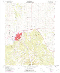
1961 Map of Versailles
USGS Topo · Published 1982About this map
The Morgan County seat of Versailles serves as the focal point for this mid-century Missouri landscape, where the town’s established grid gives way to the winding waterways and ridges of the Moreau and Little Gravois Creek basins. Local life is anchored by institutional landmarks like the Courthouse, High Sch, and the County Fairground, while the ST Louis Southwestern railroad tracks cut a diagonal path toward the settlement of Marvin.
Find a feature on this map
28 named features on this map. Tap any name to fly to it.
Don’t see what you’re looking for? This feature index may not catch every label — zoom into the map to look around manually.
Map Details
Editions of this 1961 Versailles Map
4 editions found
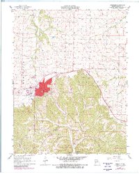
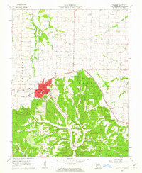
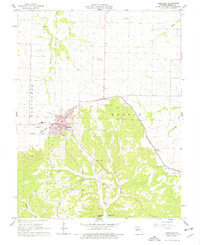
Other maps of this area

1888 · Versailles
USGS Topo · 1:125,000

1888 · Boonville
USGS Topo · 1:125,000

1893 · Versailles
USGS Topo · 1:125,000

1904 · Eldon
USGS Topo · 1:62,500

1904 · Gravois Mills
USGS Topo · 1:62,500

1935 · Gravois Mills
USGS Topo · 1:24,000

1935 · Proctor Creek
USGS Topo · 1:24,000

1935 · Rocky Mount
USGS Topo · 1:24,000

1947 · Jefferson City
USGS Topo · 1:250,000

1949 · Gravois Mills
USGS Topo · 1:62,500