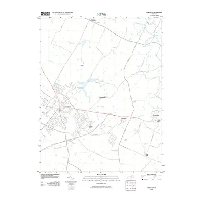
2010 Map of Versailles
USGS Topo · Published 2010About this map
Versailles anchors this central Kentucky landscape, surrounded by a complex network of residential clusters and agrarian corridors. The map reveals a transition from the structured urban layout of Woodford Village and Shetland to established rural settlements such as Nugent Crossroads, Firmantown, and Hunter Town. The topography is defined by the winding course of South Elkhorn Creek and its tributaries, including Lee Branch and Shannon Run, which frame the region's historic horse-country character.
Find a feature on this map
53 named features on this map. Tap any name to fly to it.
Don’t see what you’re looking for? This feature index may not catch every label — zoom into the map to look around manually.
Map Details
Editions of this 2010 Versailles Map
This is the sole edition of this map. No revisions or reprints were ever made.
Other maps of this area

1905 · Harrodsburg
USGS Topo · 1:125,000
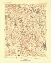
1906 · Georgetown
USGS Topo · 1:62,500
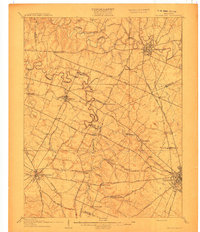
1908 · Georgetown
USGS Topo · 1:62,500
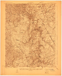
1922 · Frankfort
USGS Topo · 1:48,000
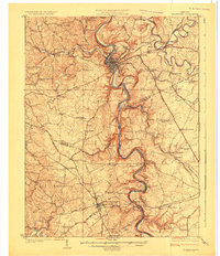
1924 · Frankfort
USGS Topo · 1:62,500
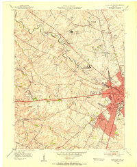
1950 · Lexington West
USGS Topo · 1:24,000
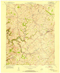
1952 · Keene
USGS Topo · 1:24,000
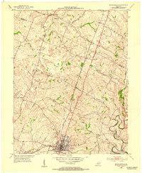
1952 · Nicholasville
USGS Topo · 1:24,000
1952 · Salvisa
USGS Topo · 1:24,000
1952 · Midway
USGS Topo · 1:24,000