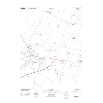
2013 Map of Versailles
USGS Topo · Published 2013About this map
The Kentucky Bluegrass region unfolds in this early 21st-century record, centered on the historic town of Versailles and its surrounding agricultural landscape. The map illustrates a transition between the established street grids of the county seat and the expanding residential footprints of Woodford Village, Shetland, and Gaybourn. Beyond the urban core, the rural character of the area is preserved in the form of sprawling estates like Three Chimneys Farm and small historic clusters such as Pisgah and Nugent Crossroads. For the local historian, the map meticulously documents several burial grounds including Zion Hill Cem and Mt Vernon Church Cem. The natural drainage of the territory is defined by S Elkhorn Cr and the subterranean features of the Big Sink, while infrastructure like the Paynes Mill Bridge and the Bluegrass Pkwy W provide vital connections across the undulating terrain.
Find a feature on this map
154 named features on this map. Tap any name to fly to it.
Don’t see what you’re looking for? This feature index may not catch every label — zoom into the map to look around manually.
Map Details
Editions of this 2013 Versailles Map
This is the sole edition of this map. No revisions or reprints were ever made.
Other maps of this area

1905 · Harrodsburg
USGS Topo · 1:125,000

1906 · Georgetown
USGS Topo · 1:62,500

1908 · Georgetown
USGS Topo · 1:62,500

1922 · Frankfort
USGS Topo · 1:48,000

1924 · Frankfort
USGS Topo · 1:62,500

1950 · Lexington West
USGS Topo · 1:24,000

1952 · Keene
USGS Topo · 1:24,000

1952 · Nicholasville
USGS Topo · 1:24,000

1952 · Salvisa
USGS Topo · 1:24,000

1952 · Midway
USGS Topo · 1:24,000