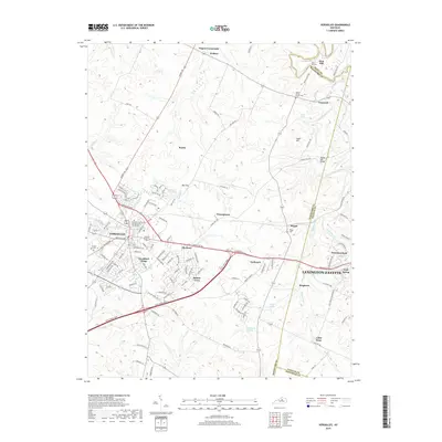
2019 Map of Versailles
USGS Topo · Published 2019About this map
Versailles anchors this central Kentucky landscape, serving as a hub for the surrounding Bluegrass region. The transition between suburban growth and traditional agricultural land is visible in the development of Woodford Village and Hunter Town, contrasted by the enduring presence of historic community centers like Pisgah and Gaybourn. The map provides a look at local education via the Kentucky Community and Technical Coll System campus on the eastern edge of the city.
Find a feature on this map
132 named features on this map. Tap any name to fly to it.
Don’t see what you’re looking for? This feature index may not catch every label — zoom into the map to look around manually.
Map Details
Editions of this 2019 Versailles Map
This is the sole edition of this map. No revisions or reprints were ever made.
Other maps of this area

1905 · Harrodsburg
USGS Topo · 1:125,000

1906 · Georgetown
USGS Topo · 1:62,500

1908 · Georgetown
USGS Topo · 1:62,500

1922 · Frankfort
USGS Topo · 1:48,000

1924 · Frankfort
USGS Topo · 1:62,500

1950 · Lexington West
USGS Topo · 1:24,000

1952 · Keene
USGS Topo · 1:24,000

1952 · Nicholasville
USGS Topo · 1:24,000

1952 · Salvisa
USGS Topo · 1:24,000

1952 · Midway
USGS Topo · 1:24,000